Kent’s Hidden Gem: The Elham Valley Way Dog-Friendly
25-Mile Hike from Canterbury to Hythe
The Elham Valley Way is one of those Kent trails that looks innocent on paper – gentle, civilised, practically horizontal – and for the most part, it is. But every now and then it throws in a stretch of overgrowth just to keep you humble. We clocked 25 miles instead of the official 22 (35km), mostly because we insisted on finishing in Hythe on the beach and wandered off course here and there – sometimes thanks to missing signage, sometimes thanks to sheer overconfidence.
The route runs between Canterbury and Hythe, threading through the Kent Downs AONB like someone stitched together every pretty field, sleepy village, and “oh good, another nettle corridor” moment they could find.
Trail Stats At a Glance
Historically, the valley has always been a natural route, carved by meltwater at the end of the last Ice Age and later used for farming, trade, and, during WWII, as part of the defensive landscape. The Elham Valley Railway once ran through here too, carrying people between Canterbury and Folkestone until the 1940s, when it was shut down for military purposes and never reopened. Parts of the old line still shape the trail today, even if the trains are long gone.
The Elham Valley Way itself was formalised as a long-distance walking route in the 1980s, when Kent County Council and local groups linked together existing rights-of-way into a continuous, waymarked trail. Before that, it really was just a patchwork of paths that locals used because they made sense or at least made Kent sense.
These days the path loosely follows that old railway… except where it doesn’t. Expect a mix of woodland, chalk farmland, quiet lanes, and the occasional stile that looks like it was designed by someone who hates knees.
Morning Start: Canterbury to Bridge
| 🥾 Distance: ~6 km (3.7 miles) | 📍 Key Stops: Canterbury Cathedral, The Cornish Bakery, Flo & Ted | 🐕 Dog Vibe: Mostly tarmac & gentle fields; easy morning warm-up |
We got up early to catch the number 16 bus from Folkestone to Canterbury, equipped with coffee in hand. We arrived at Canterbury bus station just before 8am and made our way to Canterbury Cathedral. Obligatory selfie in front, then we were offered a look inside and took the opportunity to snap a photo. As we skipped breakfast, we were keen for some good morning grub, but it was like a ghost town. We found a Pret with a very poor selection; fortunately, next door was a place called The Cornish Bakery offering exactly what it promised. Bonus: it’s a dog-friendly venue. We decided to enjoy breakfast seated rather than on the go, then made our way back to the Cathedral to officially start the route.
Initially, the trail follows fancy signs for the Via Francigena, and just after Spring Lane, the signs for the Elham Valley Way appear. The first 5k is pretty much on tarmac until you get to Patrixbourne, where the signs lead you up a field. However, bear in mind that you don’t go all the way up the hill; you pick left back toward the road, where you cross and follow a path through fields, crossing the bypass and arriving on High Street in Bridge. We took a small detour to enjoy frittata and coffee at Flo & Ted, a lovely cafe.
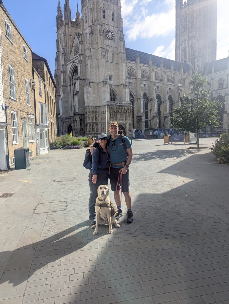 Obligatory photo with the Canterbury Cathedral
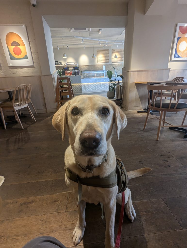 At the Cornish Bakery, Poppy demands the second brekkie
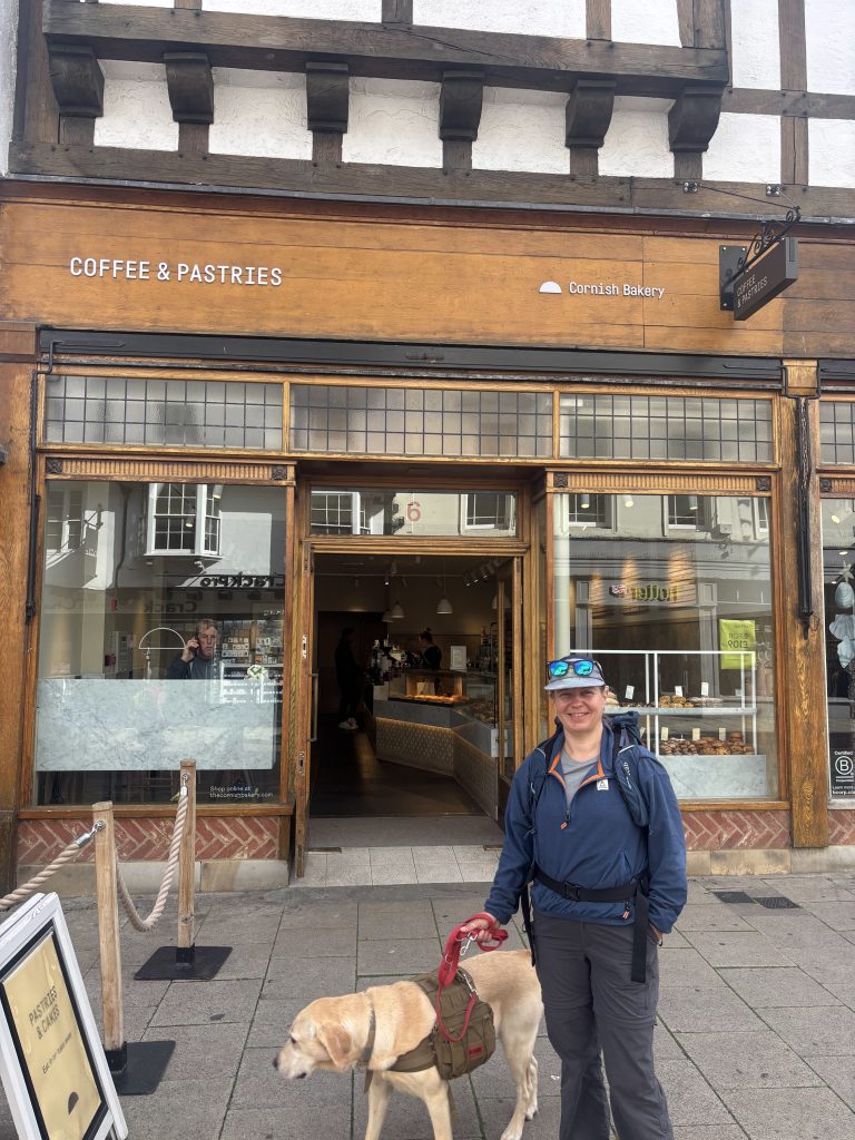 A perfect spot for coffee and pastries
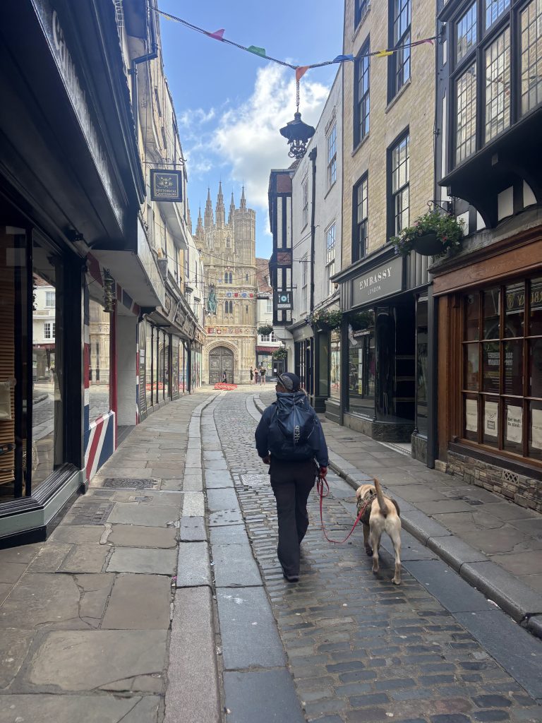 Heading back to the start point by the cathedral
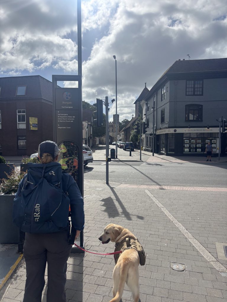 And off we go!
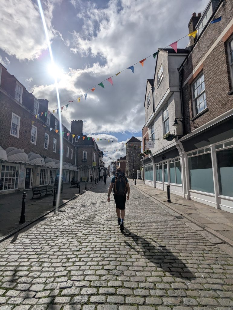 Certainly, we won the weather lottery
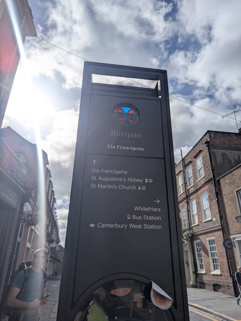 The fancy signs for the Via Francigena
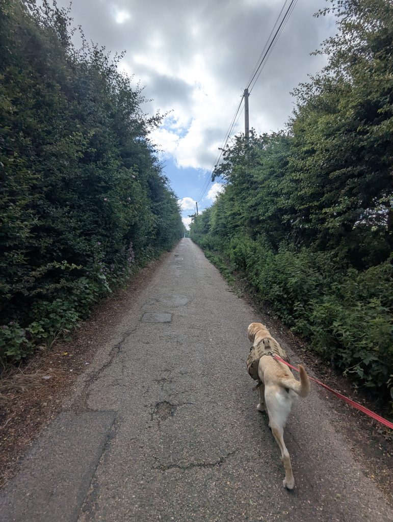 The first 5k was pretty much on tarmac
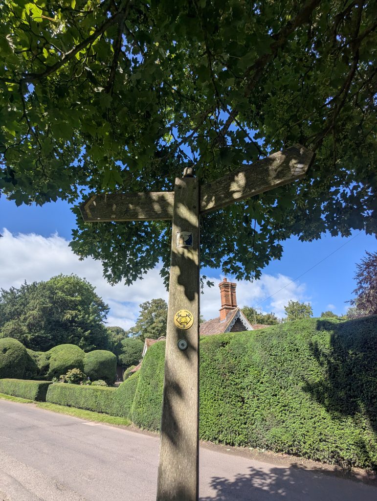 Till you see this sign…
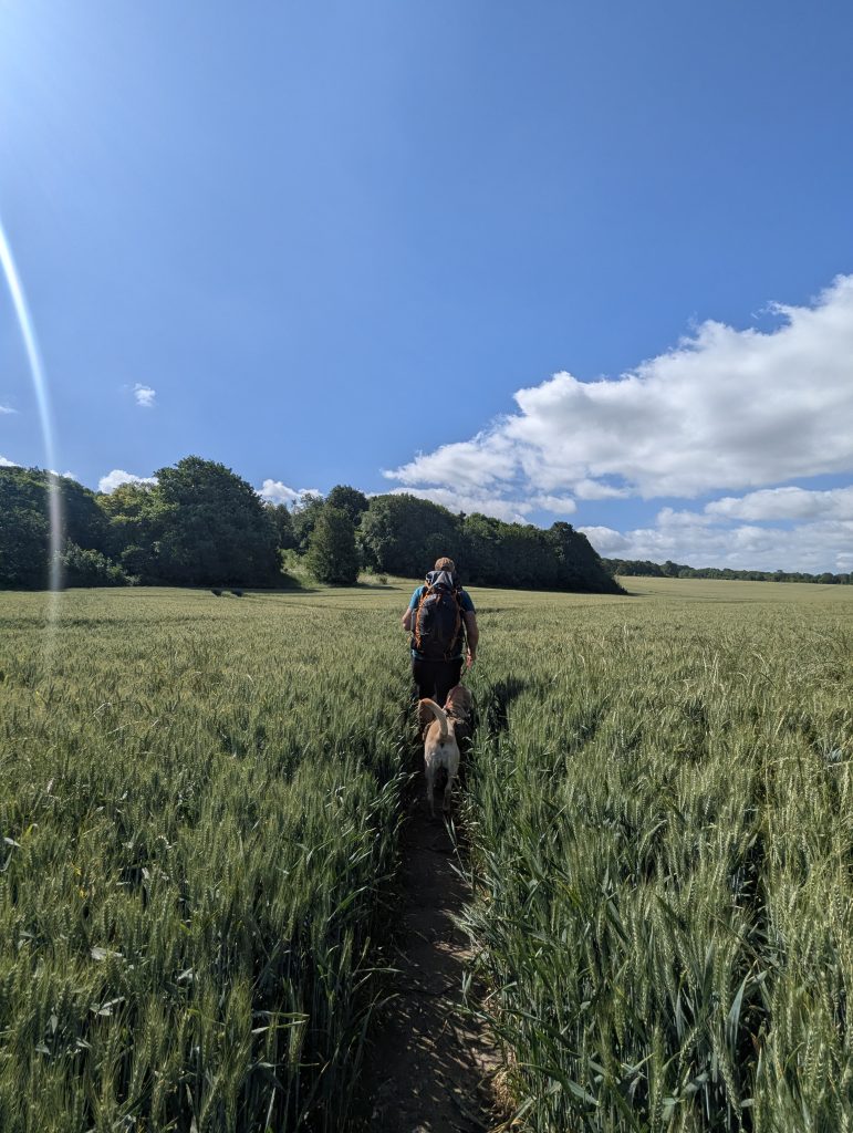 … which takes you up a field
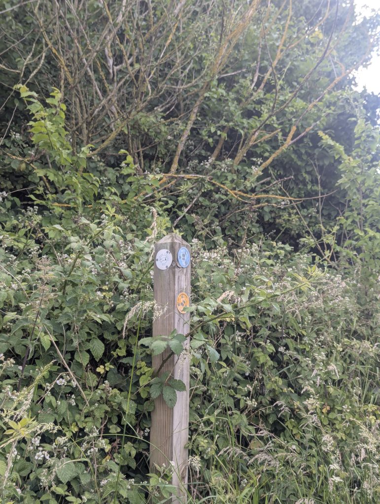 Then don’t miss this wonky singpost…
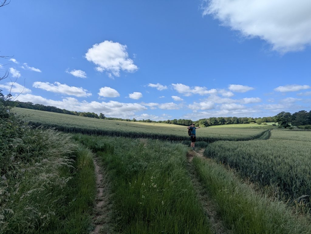 and turn right – yes, you are going back to the road
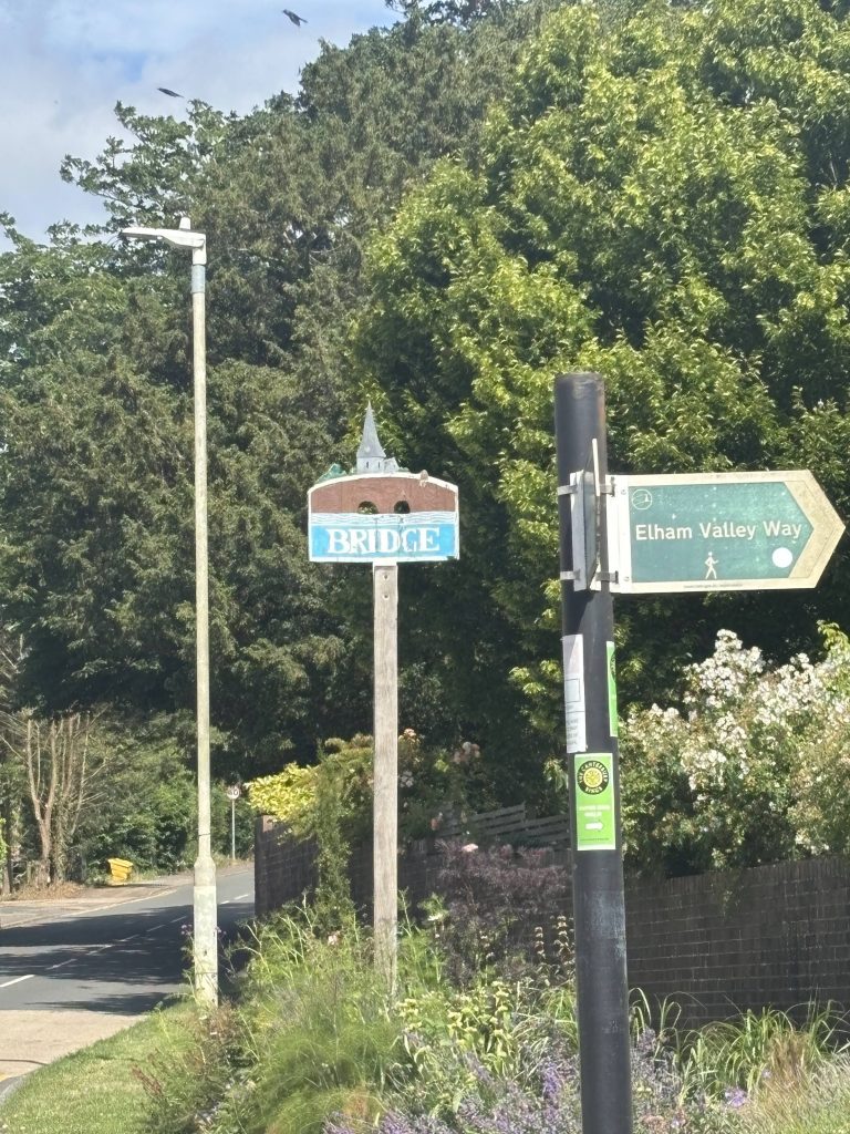 Soon after you arrive in Bridge
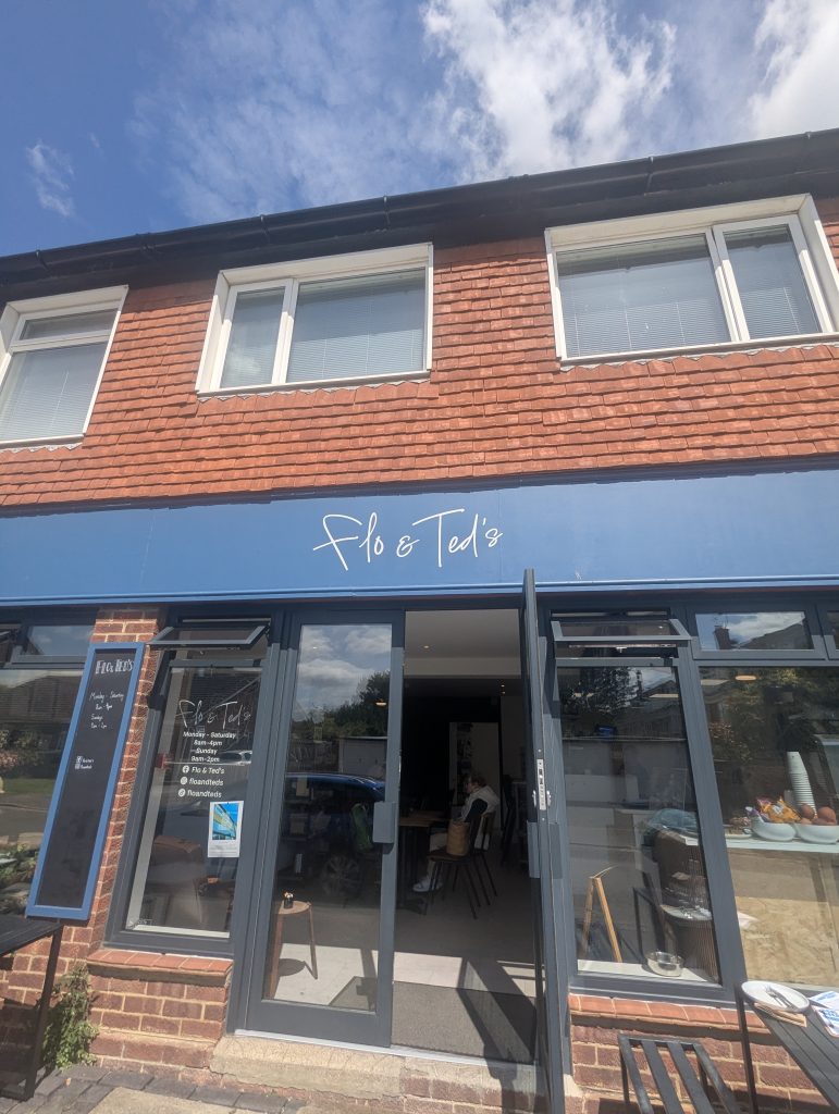 Just off EVW is this lovely cafe
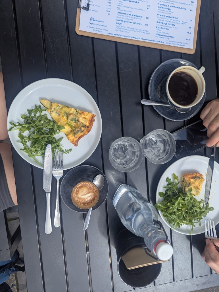 Refuelling with frittata and coffee
Fields, Forests, and Fuel: Bridge to Elham
| 🥾 Distance: ~12 km (7.5 miles) | 📍 Key Stops: The Red Lion, Covet Woods, The Kings Arms | 🐕 Dog Vibe: Beautiful meadows, but brace for heavy nettles near South Barham Hill |
Back on track, we stumbled upon a local market at The Red Lion, featuring Pawteasers – a dog treats stall dedicated solely to Poppy’s delight – say no more. Armed with extra goodies for our four-legged companion, we finally got serious about making progress. The trail meanders through scenic daisy fields and past a mysterious manor house lurking behind the trees before crossing a sheep field and arriving in Bishopsbourne. The Mermaid Inn tempted us with promises of cold beer, but we resisted and marched on. Next up was Kingstone, then the outskirts of my favourite running haunt, Covet Woods. Just after the gate leading to South Barham Hill, a bench with a view beckoned us for a coffee and cinnamon bun break. Poppy demolished a pack of treats from Pawteasers with gusto.
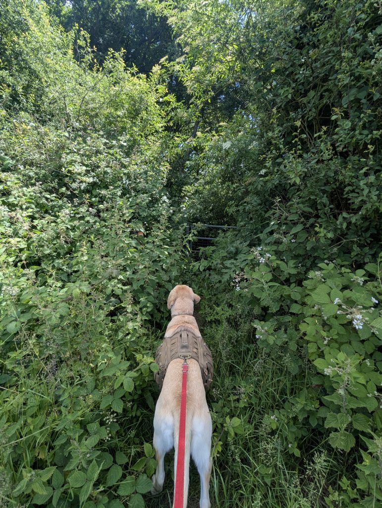
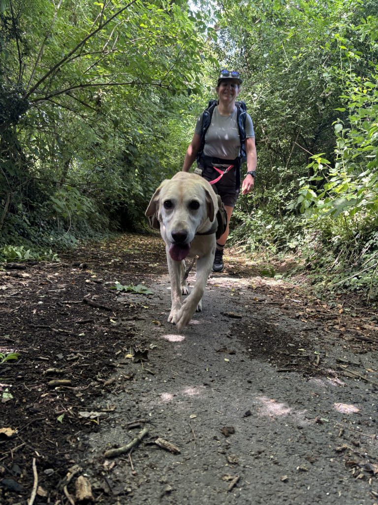
While we savoured our break, a couple powered up the hill, looking every bit the seasoned hikers with poles, kit, and energy to spare. Turns out, they started in Elham, tackling the EVW as prep for Hadrian’s Wall, the posh way; with sherpas and hotels lined up. Enjoy it, guys! The route dips down to South Barham Hill, where you take a left and keep going until you reach a junction with a well-hidden signpost. Take a right through the little gate next to the car gate, and be careful not to loop back into Covet Woods (which we nearly did!). Head toward the smaller path on the right and push straight through the overgrowth – trust me, there’s a gate and a sign somewhere in there. Battling nettles and brambles, this was the worst-maintained section of the trail.
Then it’s downhill through fields to the other side of the road – yes, you’ll have to go uphill again. Once you’re up, with a lovely meadow to your right, watch for a narrow path cutting through it back toward the direction you came from. This is the EVW, and after a couple of stalls, you’re on the straight and narrow to Elham. Hungry and ready for lunch, we powered through to The Kings Arms, where we demolished burgers washed down with well-deserved cider.
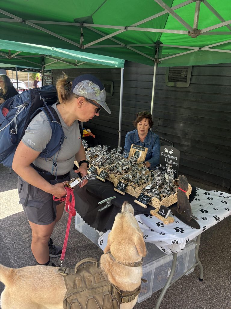 We stumbled upon a local market at The Red Lion, featuring a dog treats stall
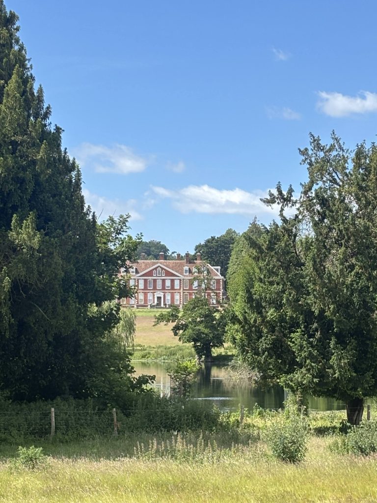 The mysterious manor house lurking behind the trees
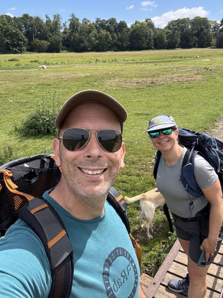 A cheeky selfie
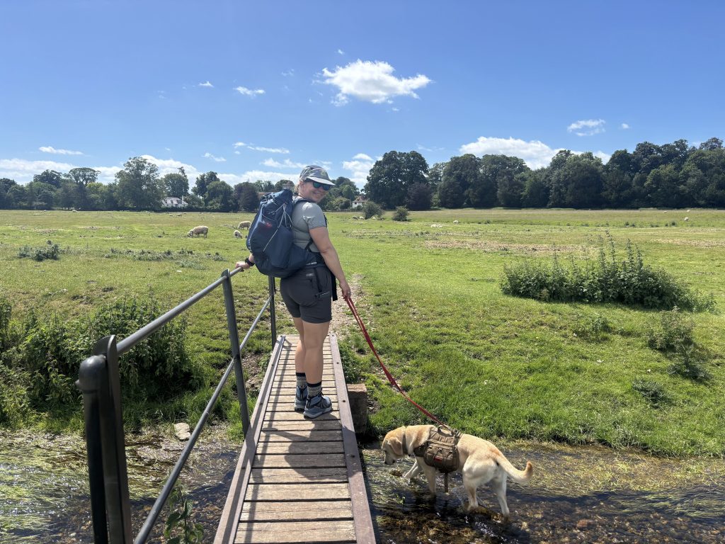 Heading towards Bishopsbourne
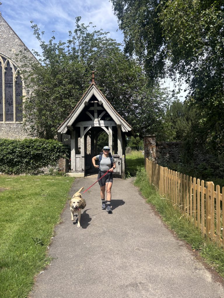 St Mary’s church
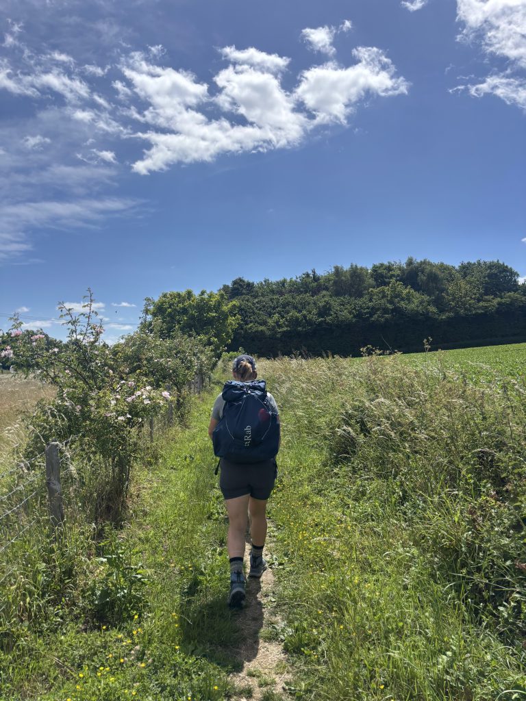 Blue skies – green fields
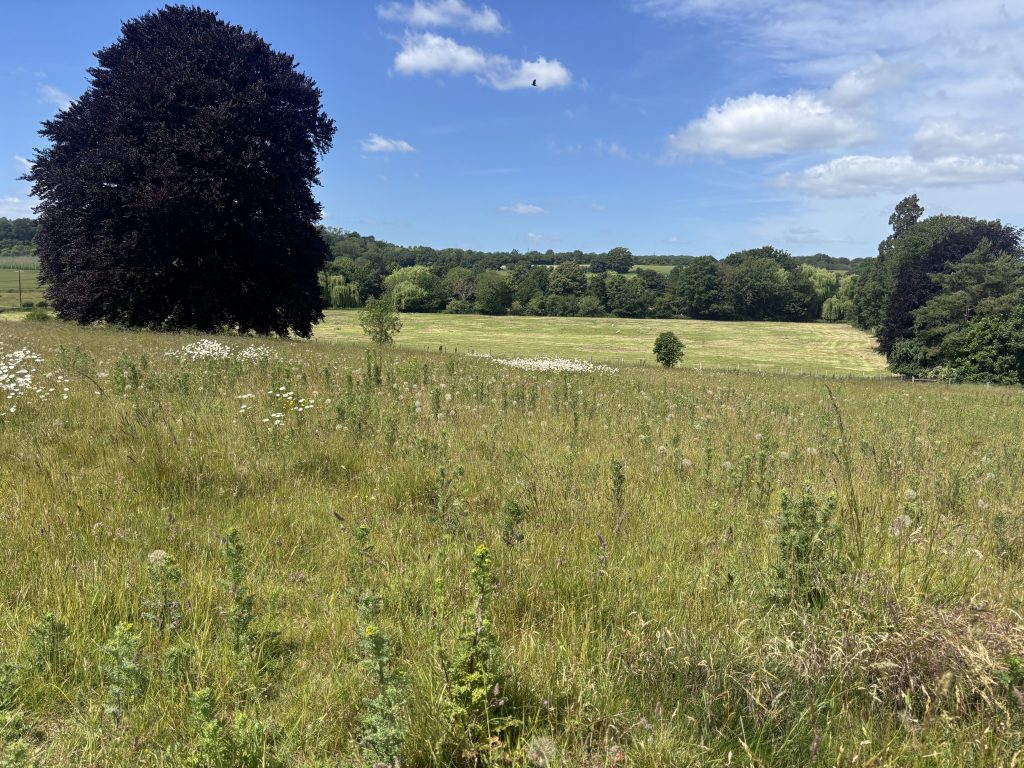 and more fields
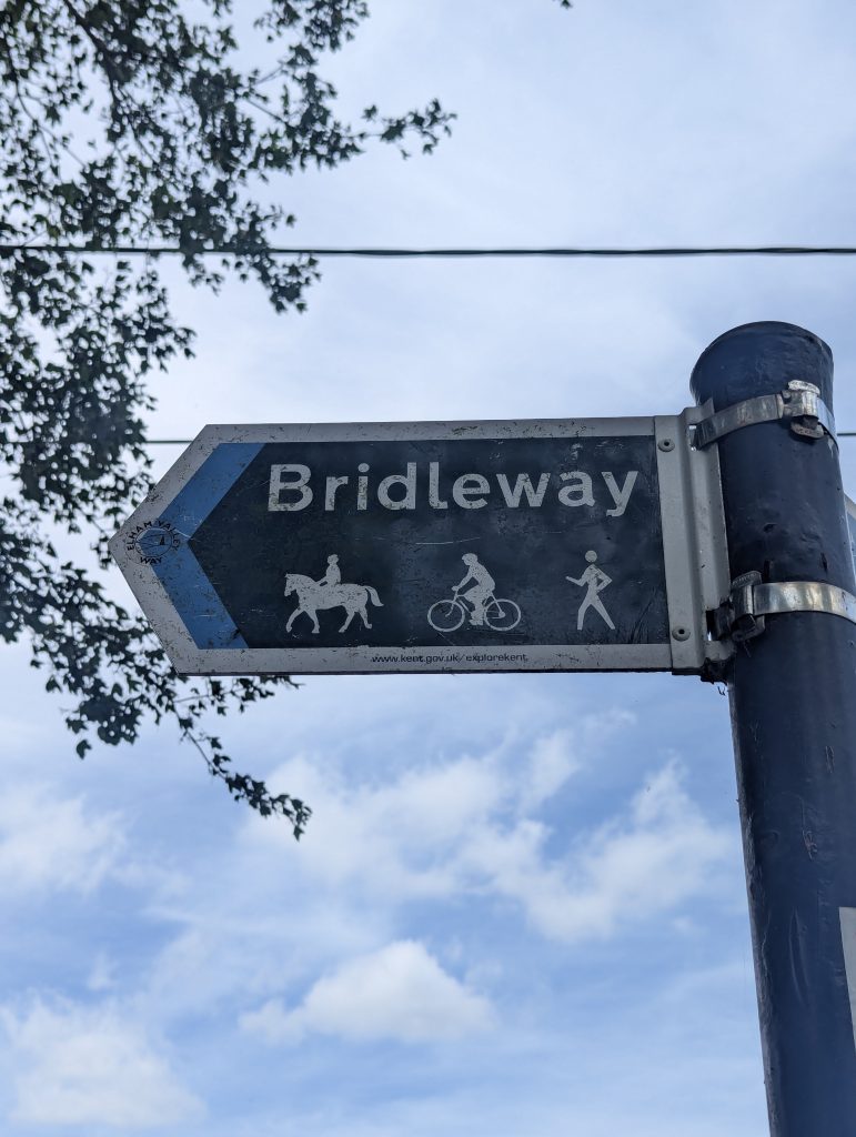 Signposting can look like this
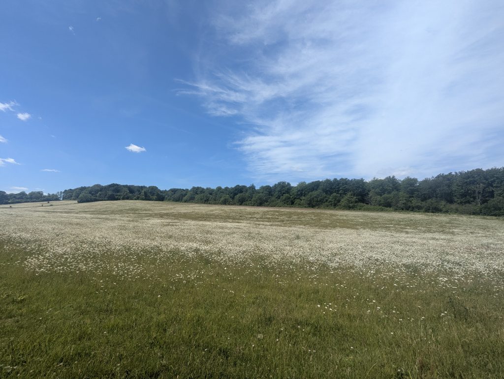 Daisy fields
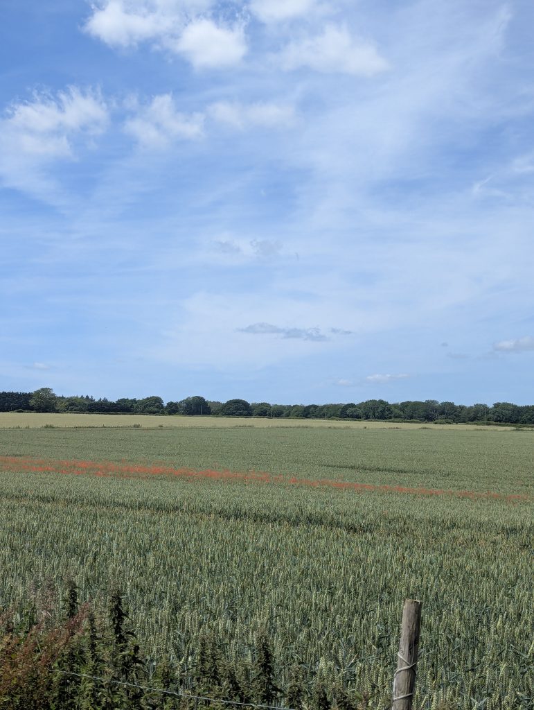 and Poppy fields in the approach to Covet Woods
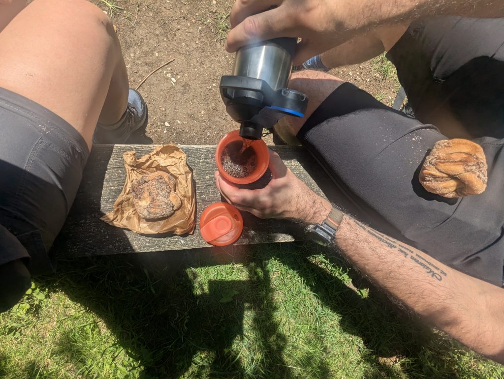 About 15km in – it’s time for cinnamon buns
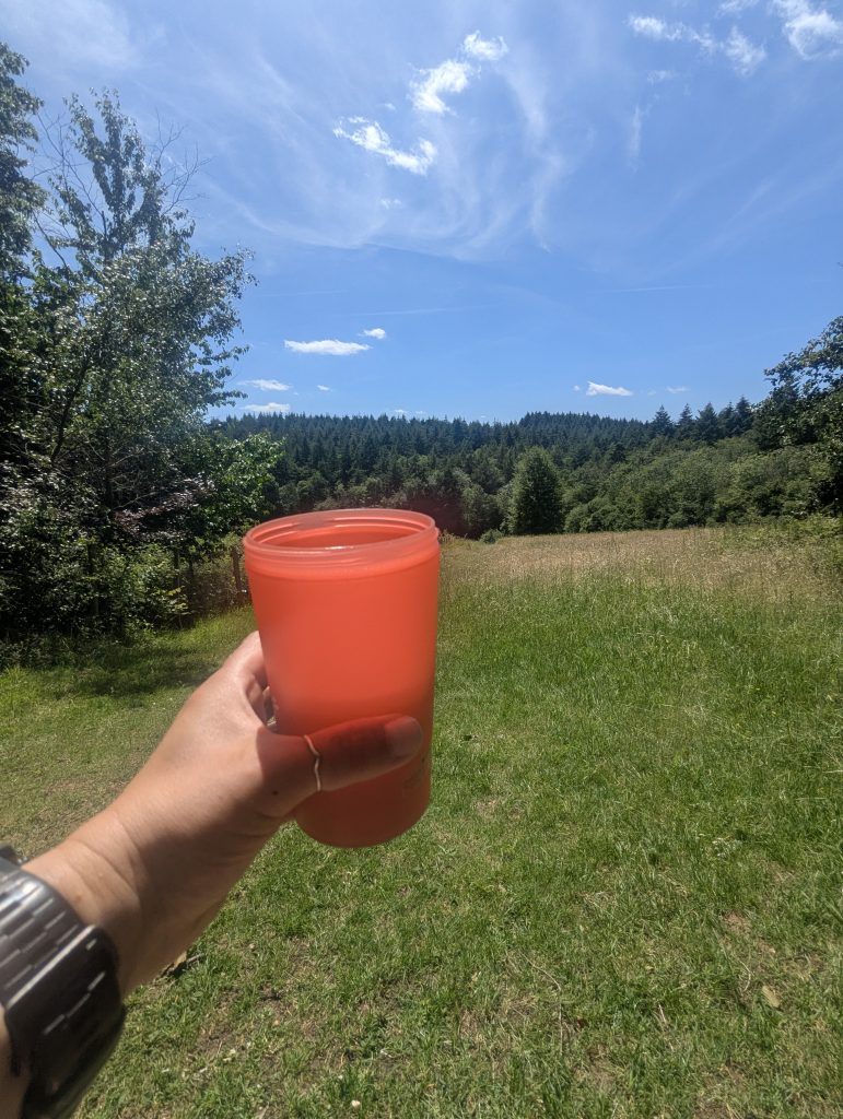 and of course coffee
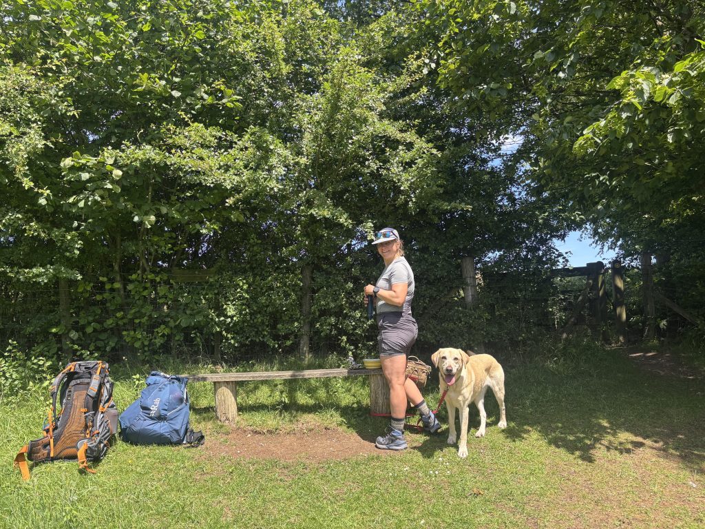 we found just a perfect bench with a view
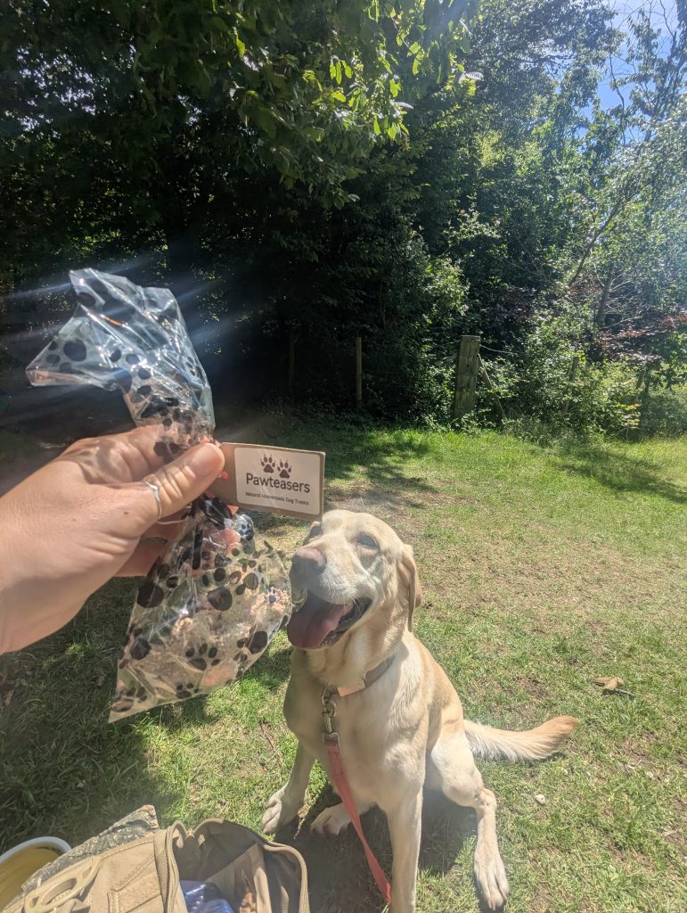 Poppy had her treats too
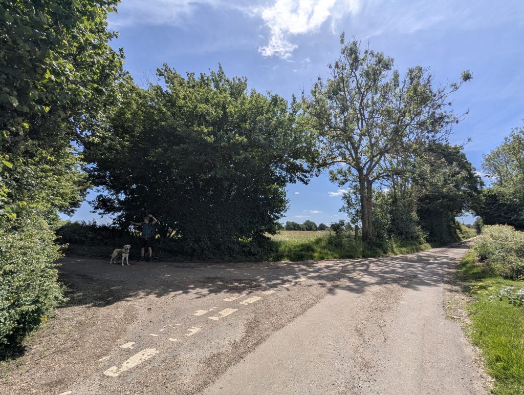 After descending the hill, turn right and follow South Barham Hill till this point
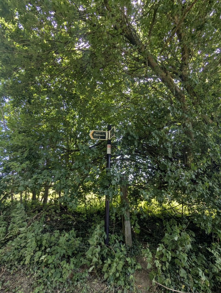 Watch out for signage
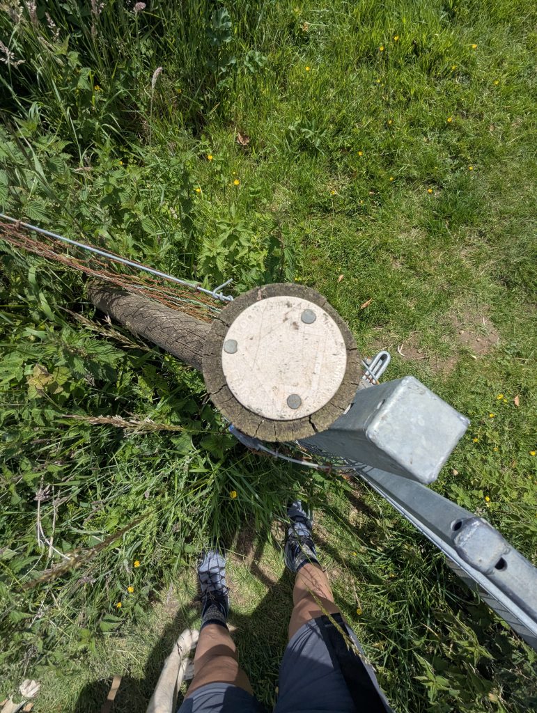 Some are barely visible
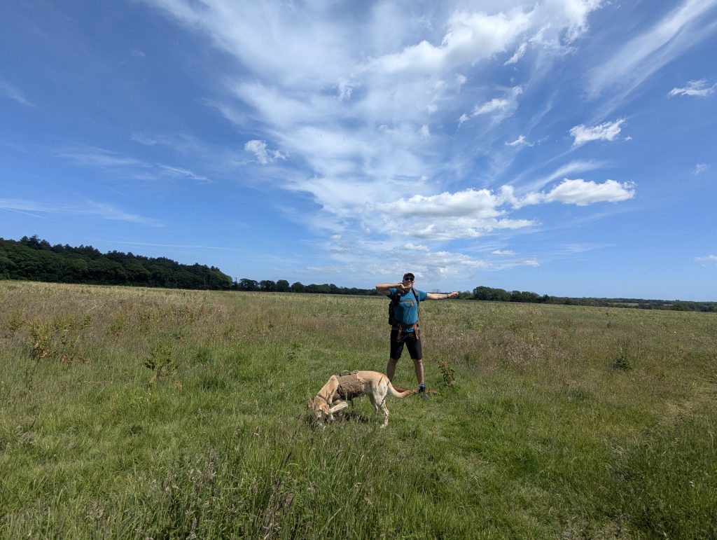 And be careful not to miss a turn! Otherwise, you will be back in Covet Woods
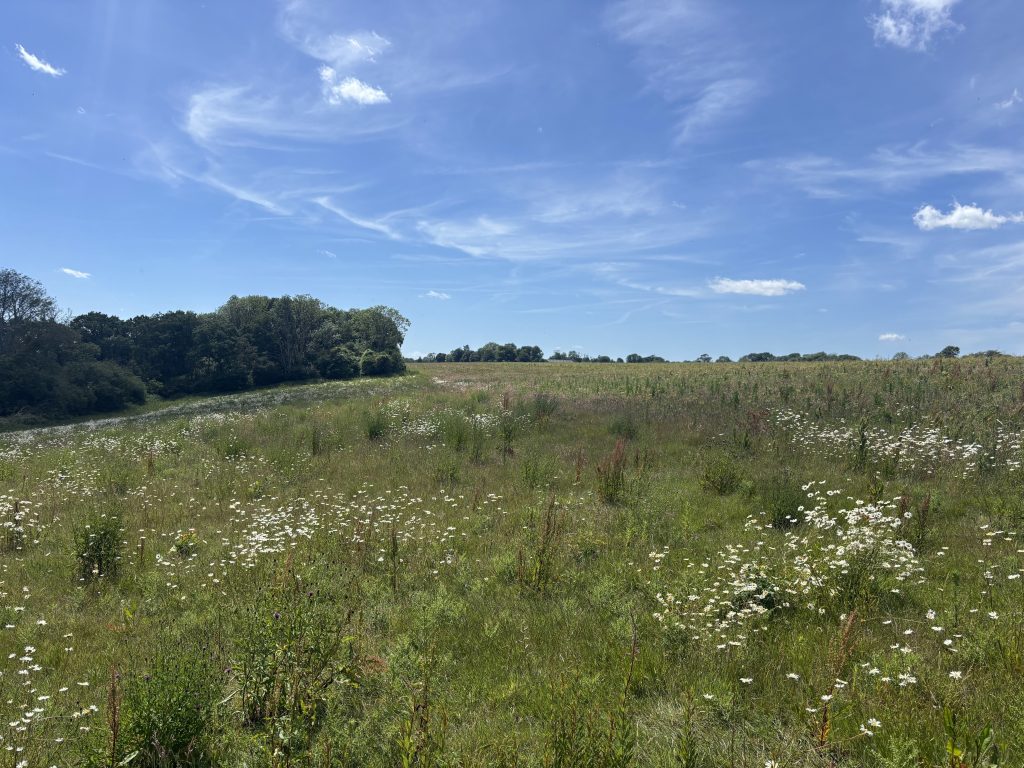 Keep this daisy field to your right
 and keep on going straight
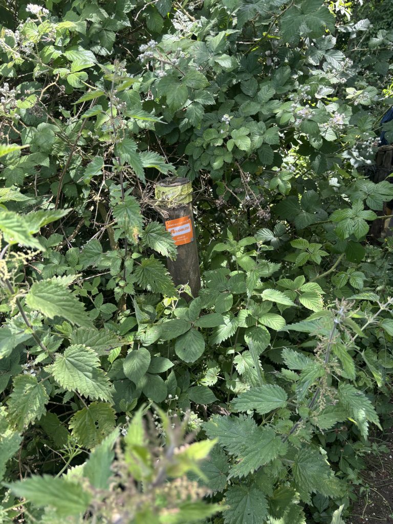 There is a signpost
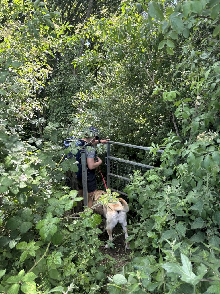 and a gate!
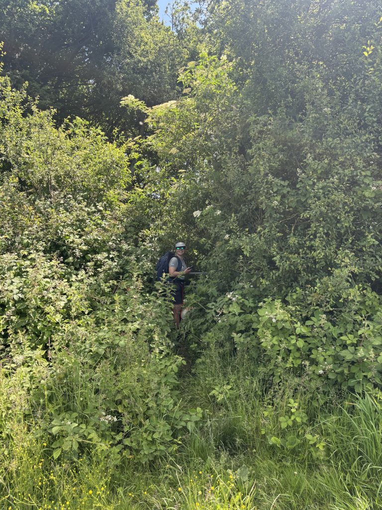 Battling nettles and brambles, this was the worst-maintained section of the trail.
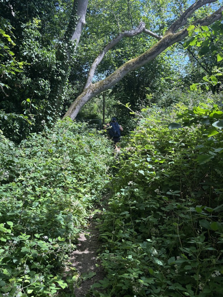 This was the worst patch
 the last climb before Elham
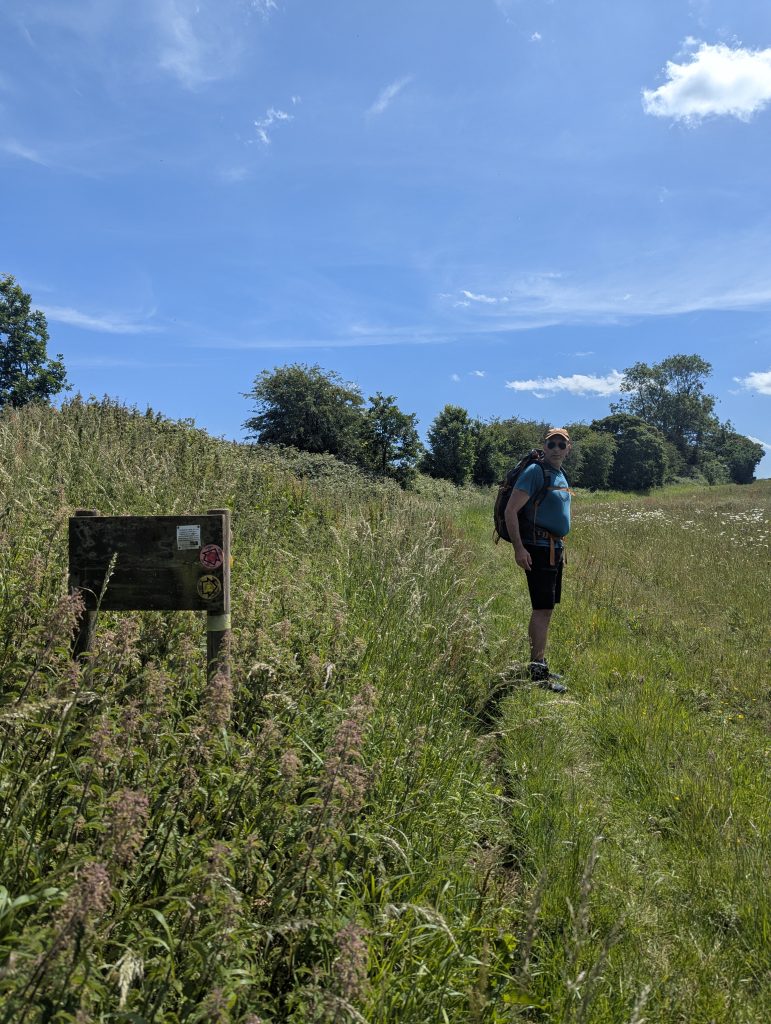 Don’t miss a small path to your right here!
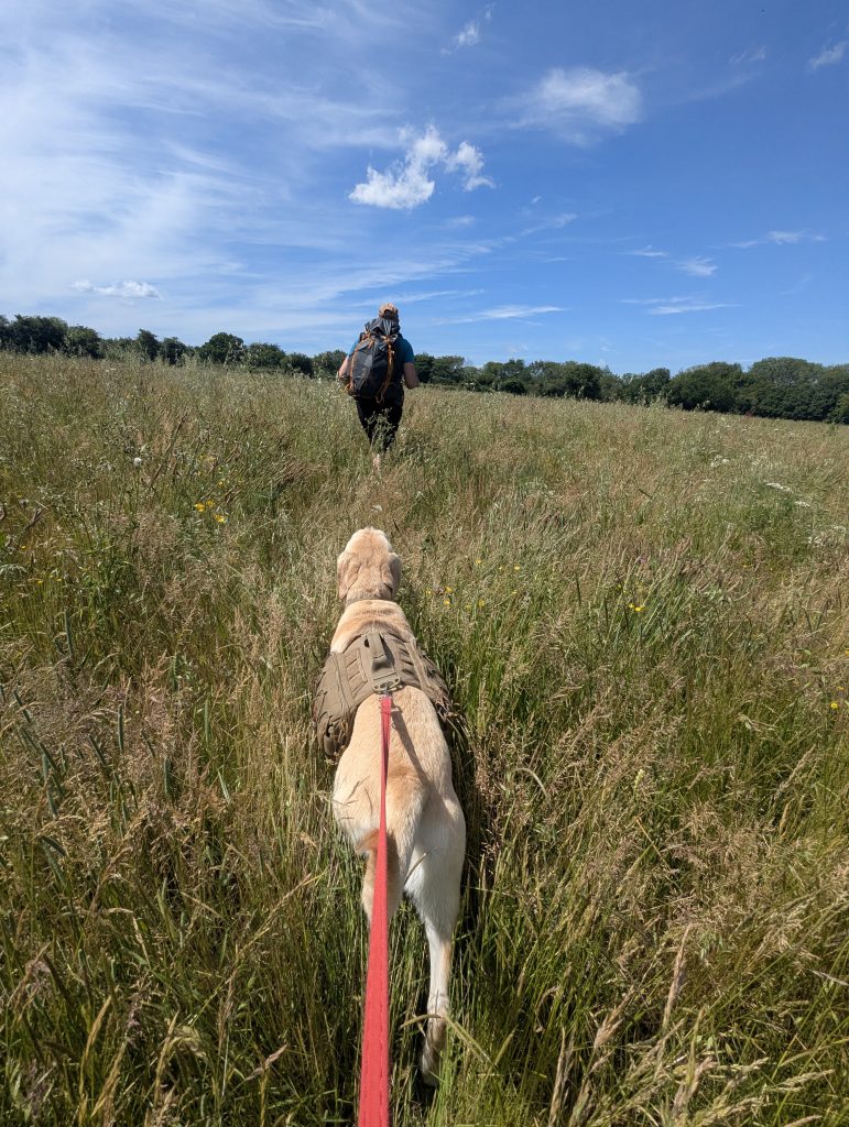 We did and had to thread through tall grass
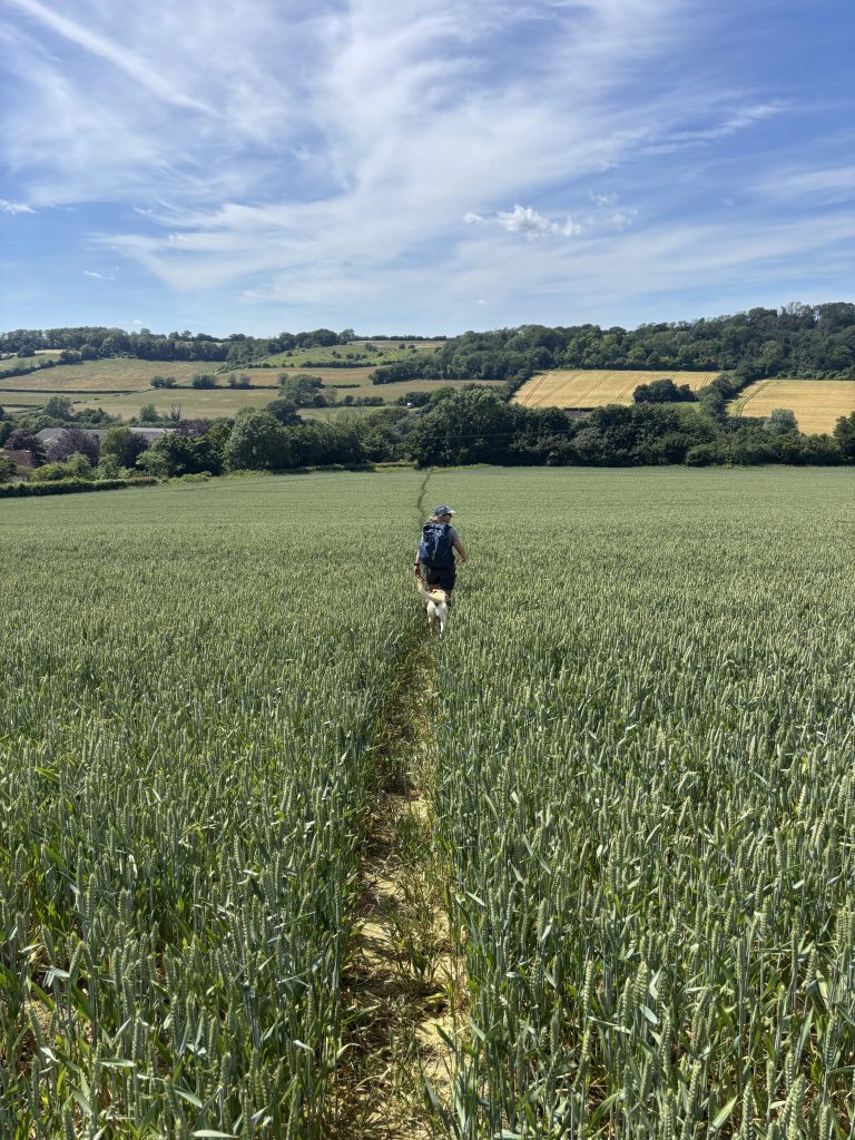 Down this field…
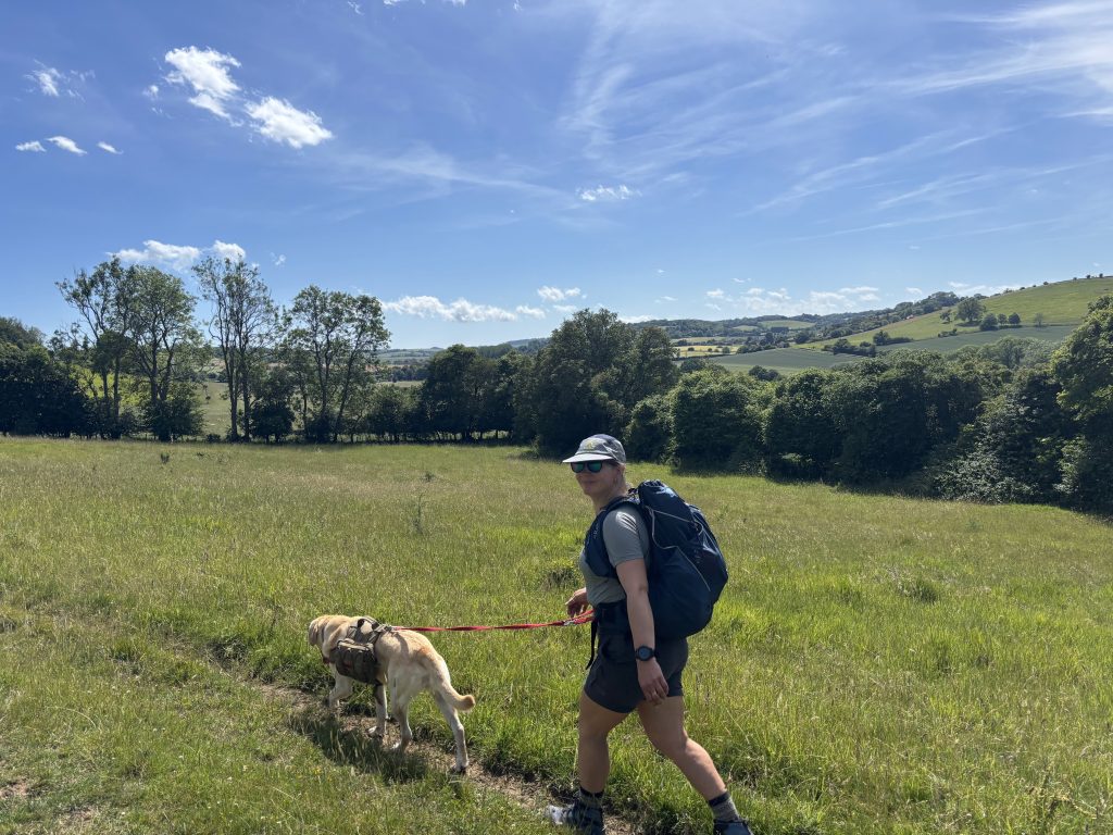 … and you’re on the straight and narrow to Elham.
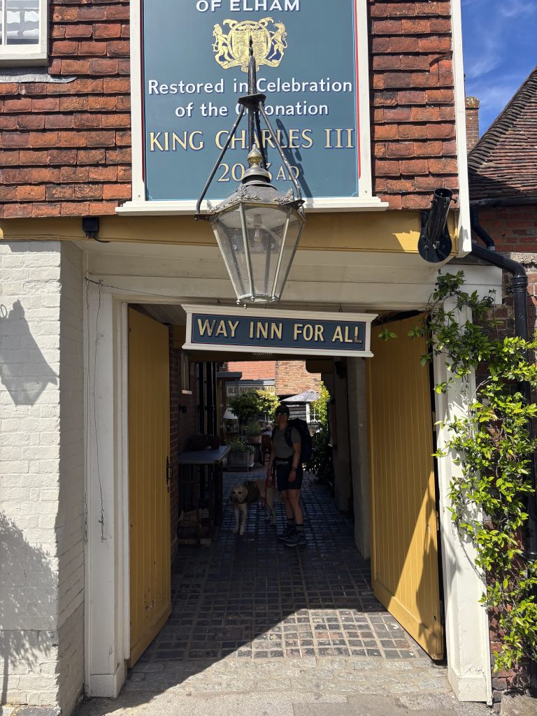 There are three pubs in Elham!
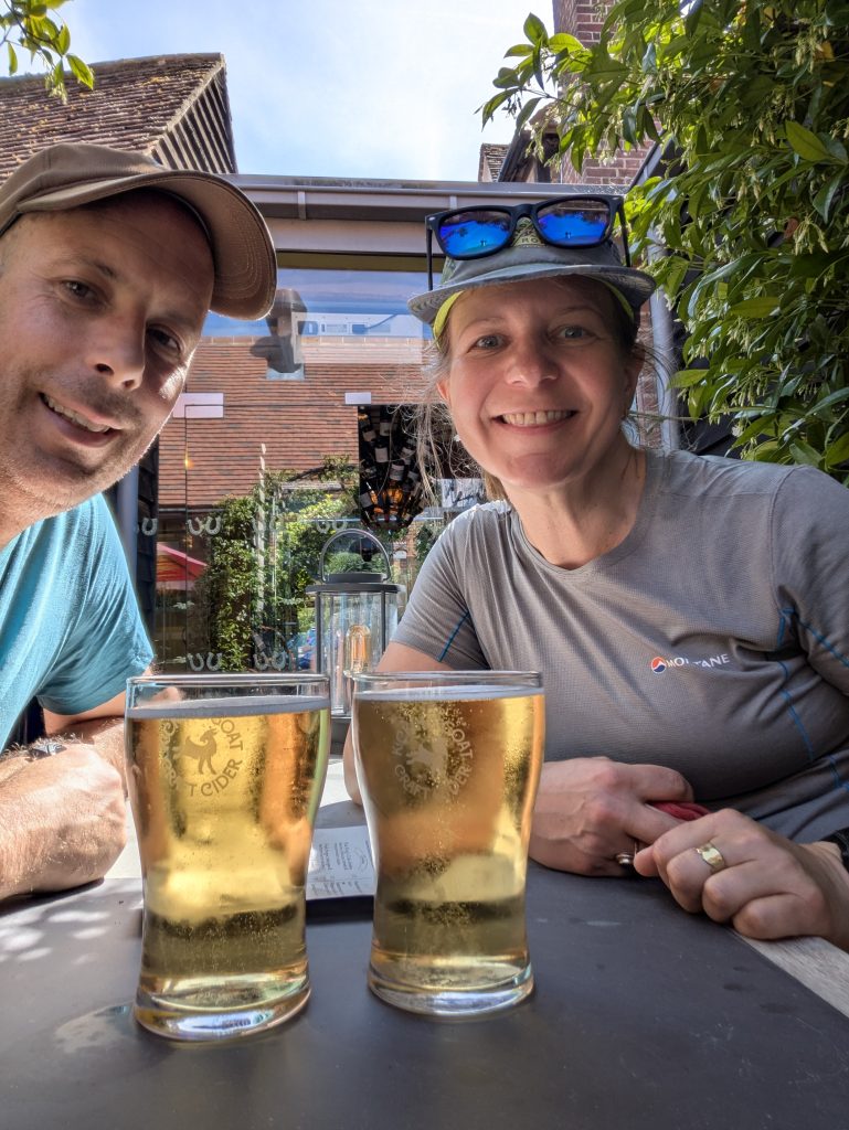 Well-deserved hydration
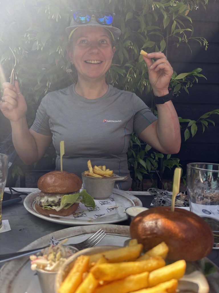 and of course refuelling
Final Stretch: Lyminge to Hythe
| 🥾 Distance: ~22 km (13.8 miles) | 📍 Key Stops: Tolsford Hill Viewpoint, Hythe Beach | 🐕 Dog Vibe: Sweeping coastal views, but keep them close near the Etchinghill golf course |
Getting going again was tough, but we rallied. We found the Elham Valley Way and soon were crossing picturesque fields and the village of Lyminge – complete with a pub if you’re feeling very thirsty. Soon after, we crossed a road and hit the golf club premises. This is where we spectacularly went off course. It’s not straight up; keep to your right, pretty much parallel to the road. The EVW skirts the outskirts of Etchinghill village. We got blinded by the siren call of a cheeky pint at The Gatekeeper but realised we were off track, corrected ourselves, and faced a massive hill with a mast to climb instead.
Then it was (mostly) downhill, with an obligatory stop at a bench overlooking the stunning landscapes of Tolsford Hill and Summerhouse Hill. The Elham Valley Way joins the Saxon Shore and North Downs Way for a stretch until you hit the diversion to the old railway, where the EVW takes you all the way to Newington. You reach the main road, cross it near the motorway bridge, then take a side road up towards Hythe. Newington likes to loop every piece of trail, so it zigzags a bit in and out. Once you cross the motorway, it’s all downhill to Hythe High Street, where near the roundabout, the first/last EVW sign appears.
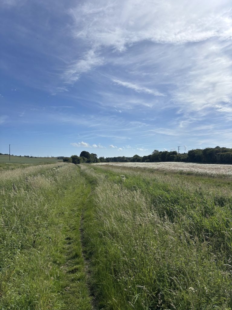 Getting going again was tough, but we rallied
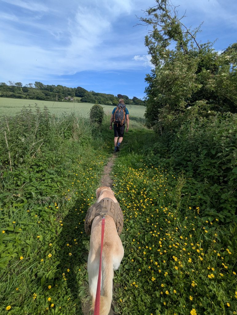 We found the Elham Valley Way and soon were crossing picturesque fields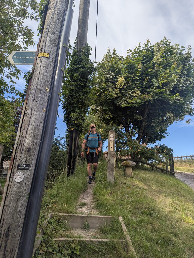
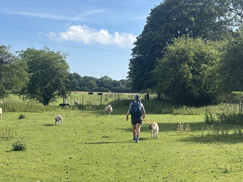 Lyminge is not far from here. Look out for alpacas
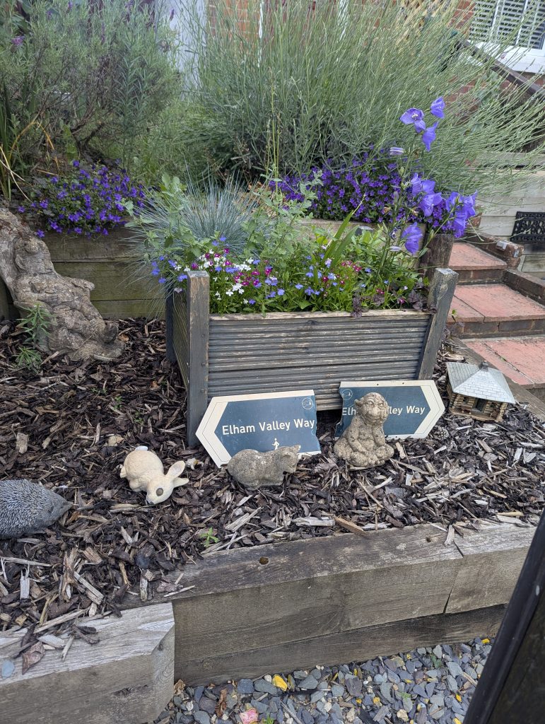 Lyminge!
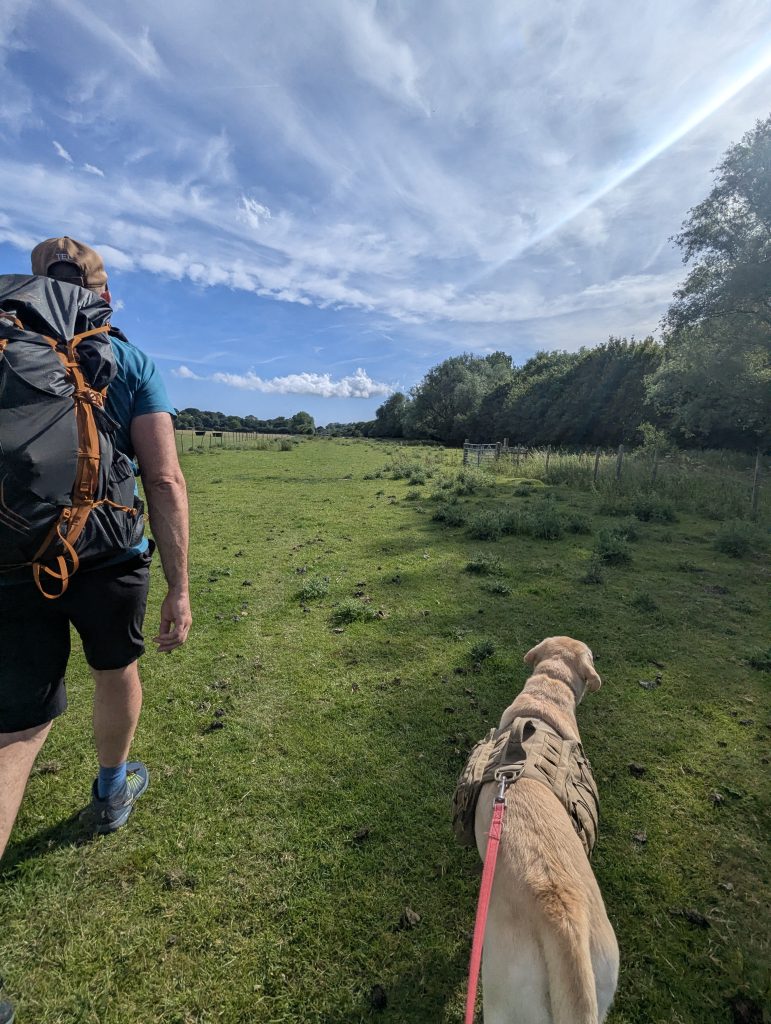 Keep on powering
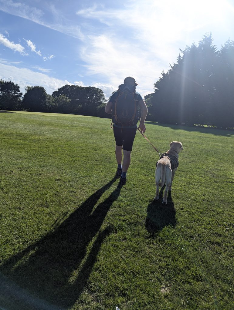 Ethchinghin Golf Club – keep to your right when you enter the course.
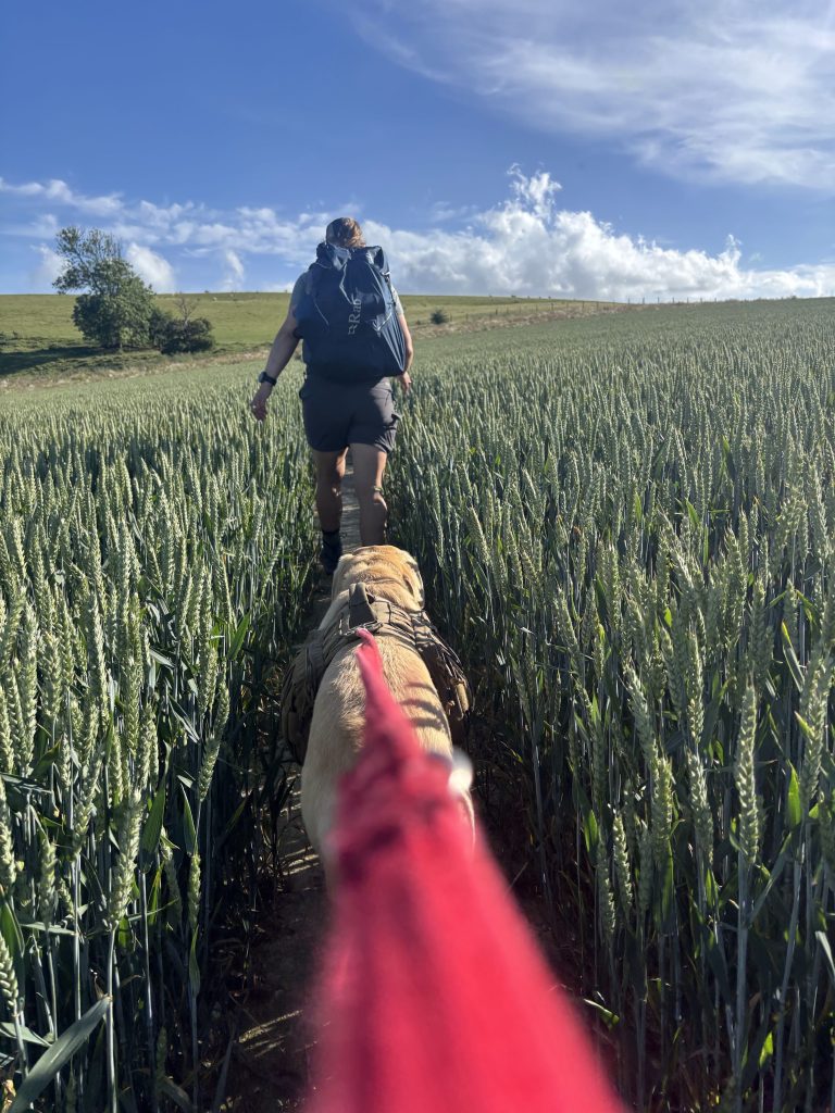 After passing the golf course, turn right and soon you will be back in fields
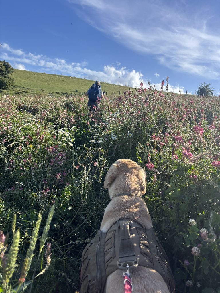 The wild flower meadow
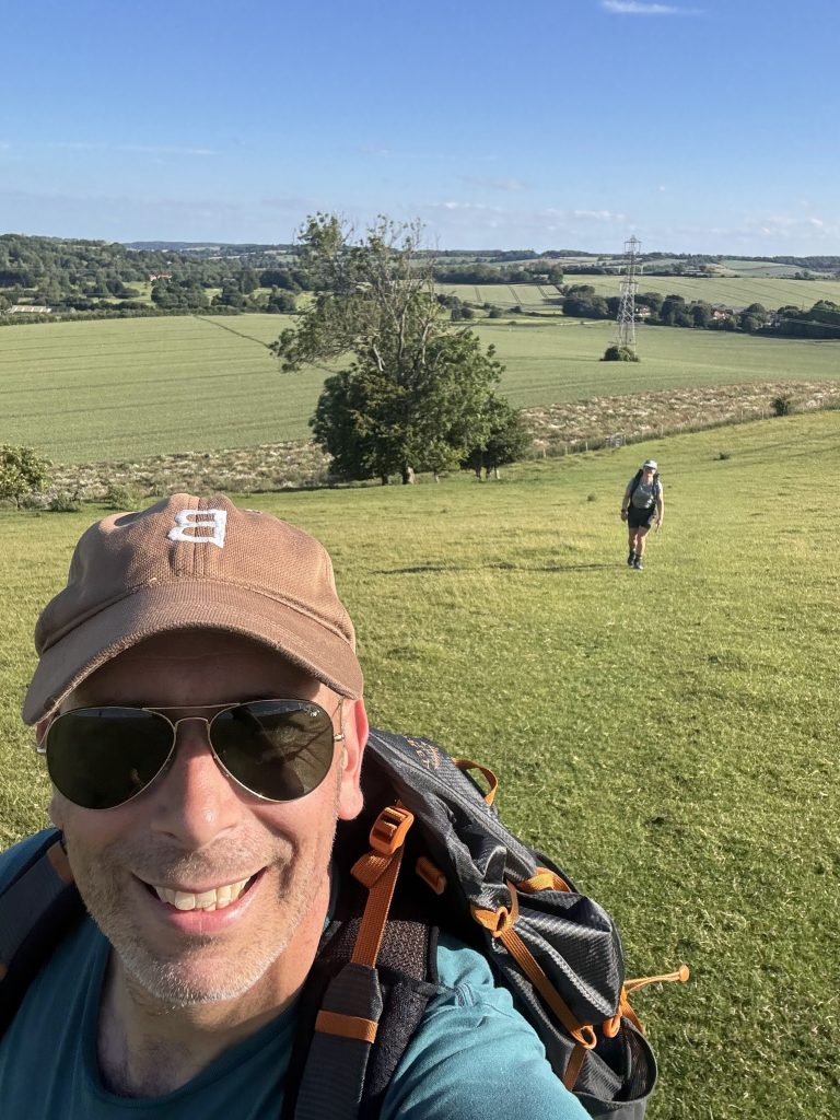 Then climb Etchinhill taking the line to the mast
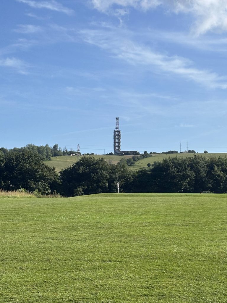 The mast. Take your bearing
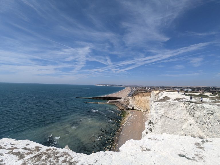
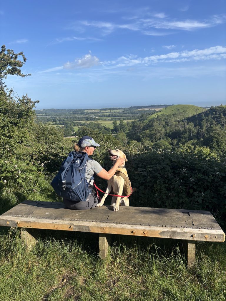 Obligatory stop with a view on Toldford Hill and Summerhouse Hill
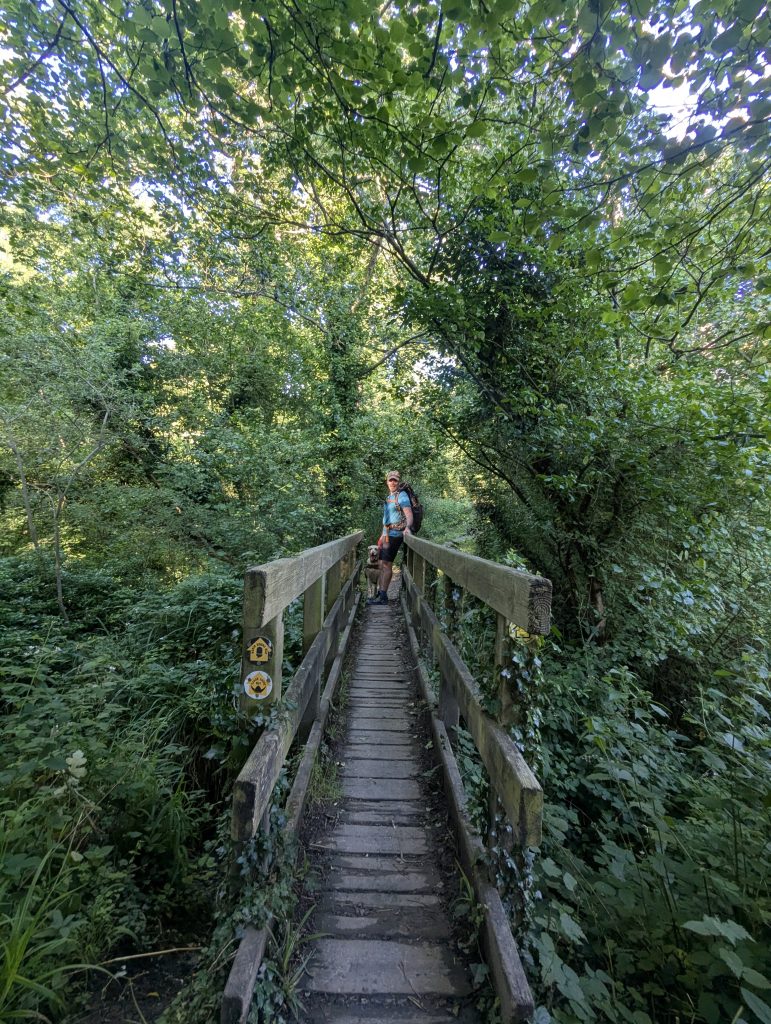 The Elham Valley Way joins the Saxon Shore and North Downs Way – check the signs! Don’t go through the tunnel
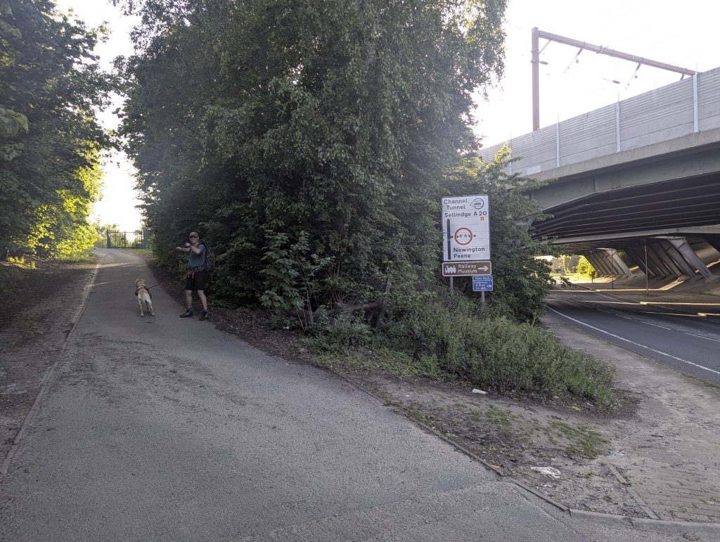 Cross the A20 up towards St Martin’s Plain
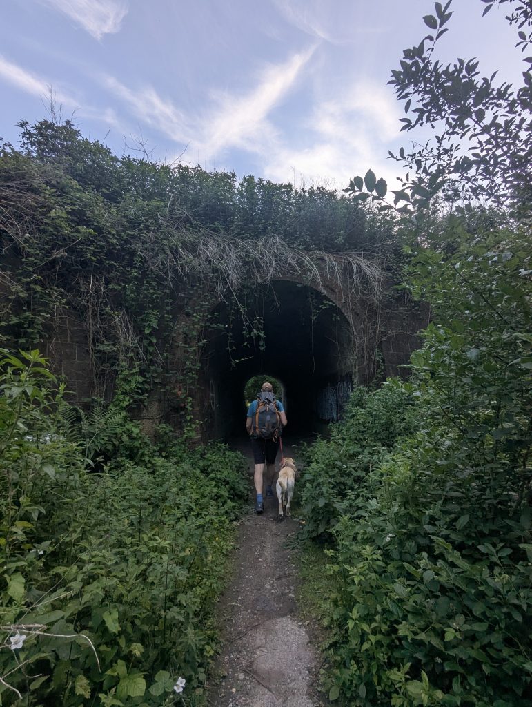 This is different tunnel
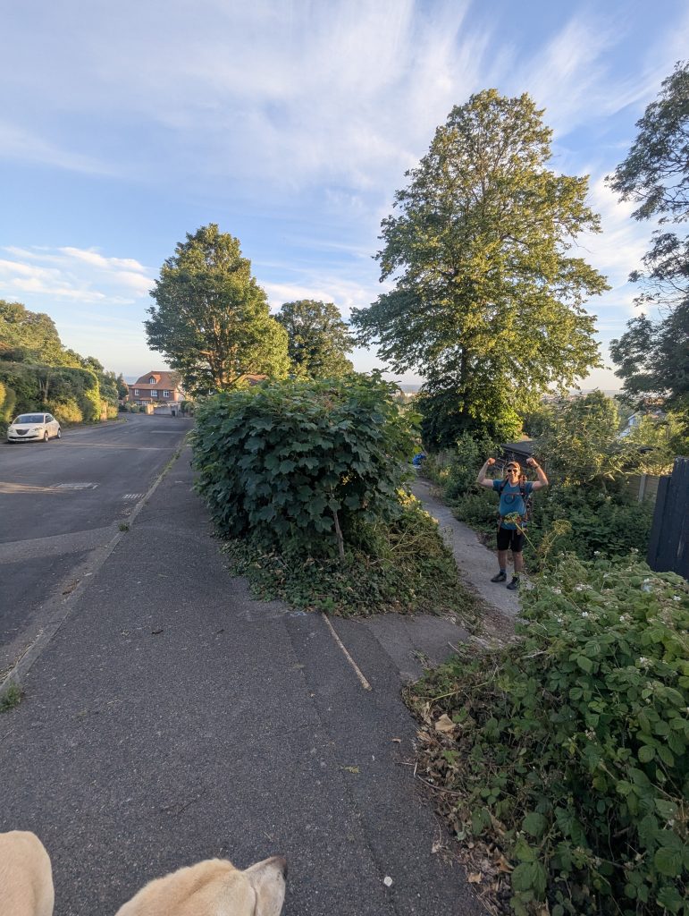 Don’t miss the turnning for Station Road [unmarked]
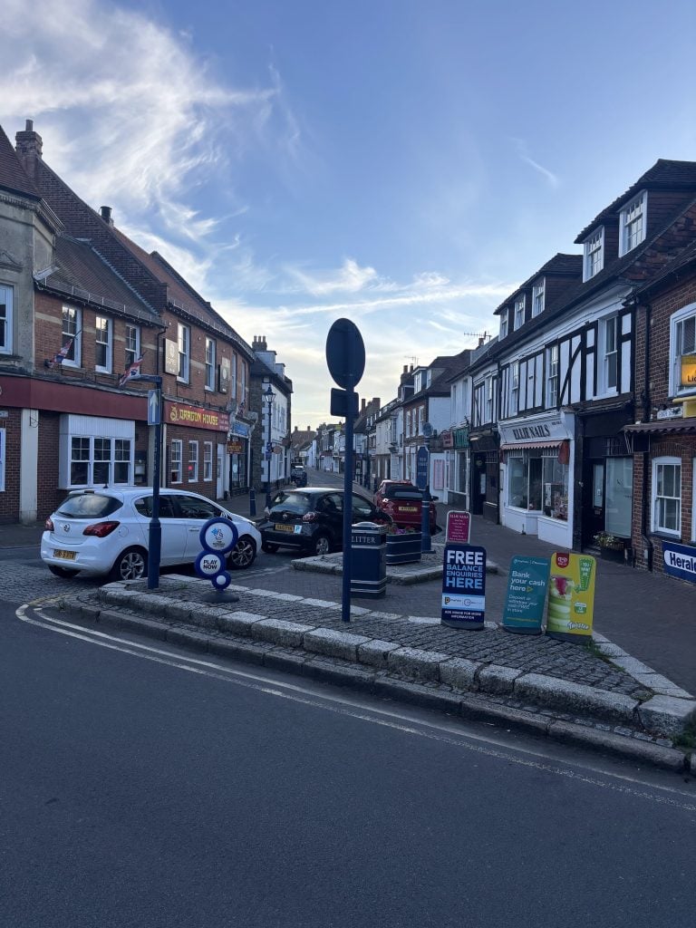 The first/last sign post is in the middle of this junction with High Street
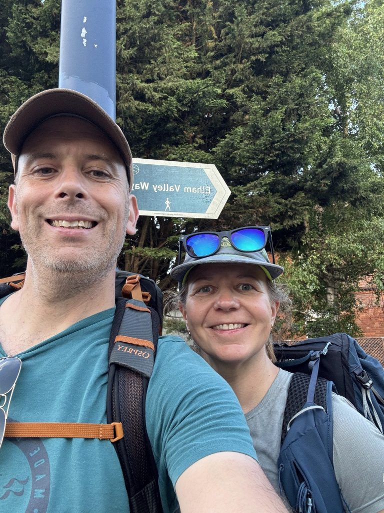 Obligatory selfie
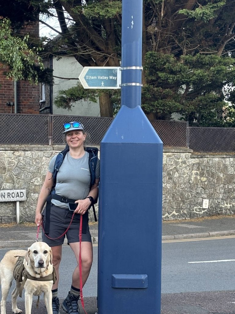 Next stop – vino & beach
Beachside Bliss: Hythe Finale
| 🥾 Distance: ~1.5 km (1 mile) | 📍 Key Stops: Corner shop to pick up a bottle of bubbly 😉 | 🐕 Dog Vibe: Head east of Hythe Imperial for dog friendly beach (along Princess Parade) |
After the obligatory selfies with the start/finish point (because if it’s not on the ‘Gram, did it even happen?), we made a beeline for the beach. Now, the main Hythe beach isn’t exactly dog-friendly all year round, so we took a cheeky detour to the east side where the doggos can roam free without a care.
Boots off, sweaty clothes ditched, and a glorious plunge into the refreshing sea – honestly, it was the best thing ever. We came armed with a bottle of prosecco to celebrate in true style. And as if the day wasn’t perfect enough, we were treated to a spectacular sunset that made us feel like we’d won the hiking lottery.
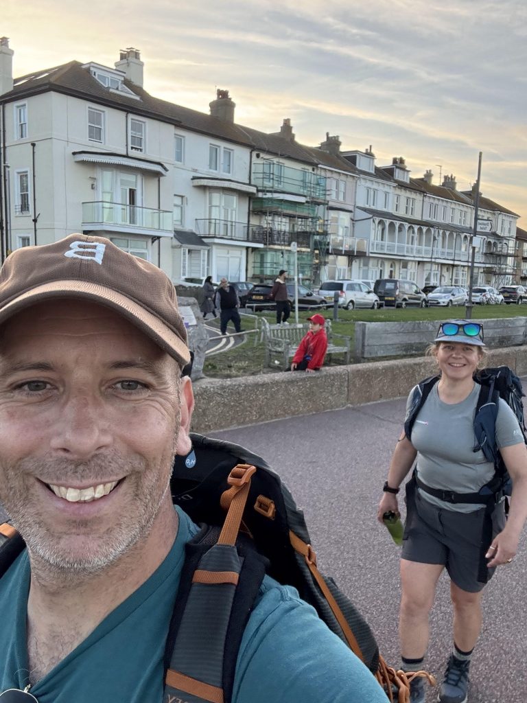 Detour to the east side where the doggos can roam free without a care.
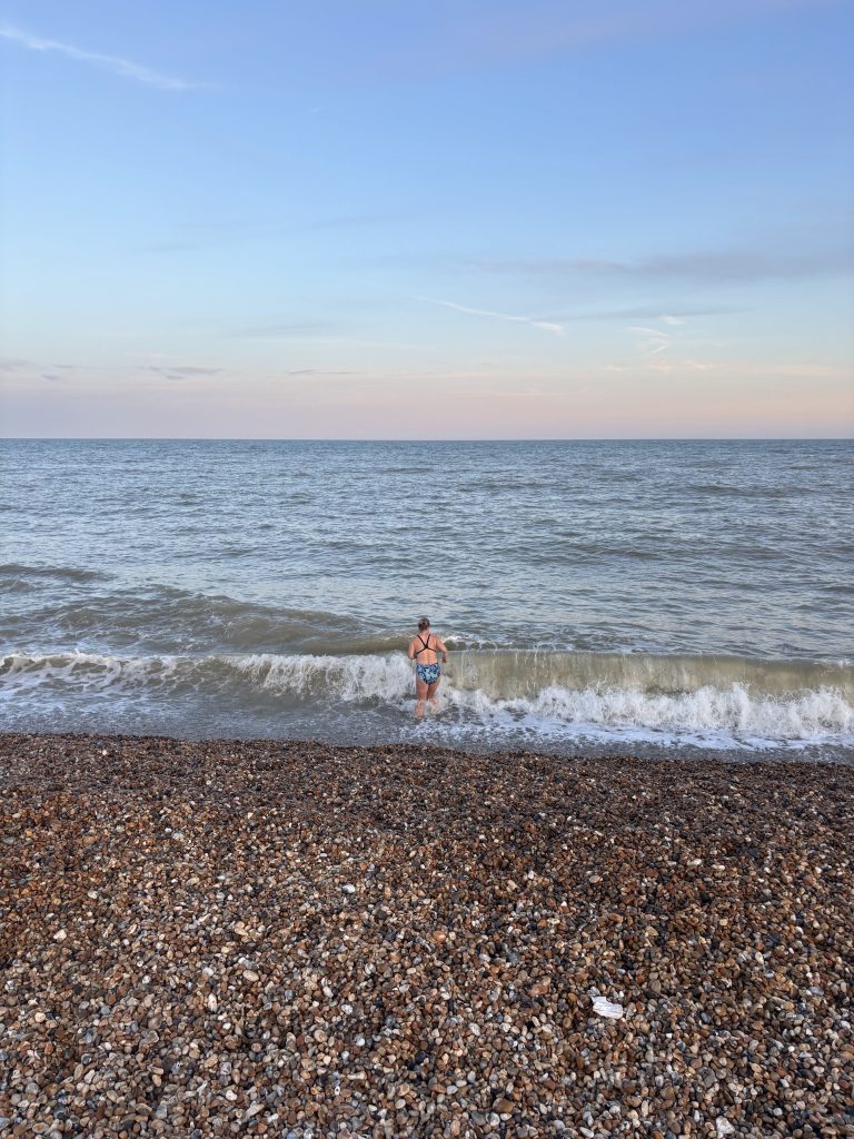 The sea was bit choppy but such a bliss
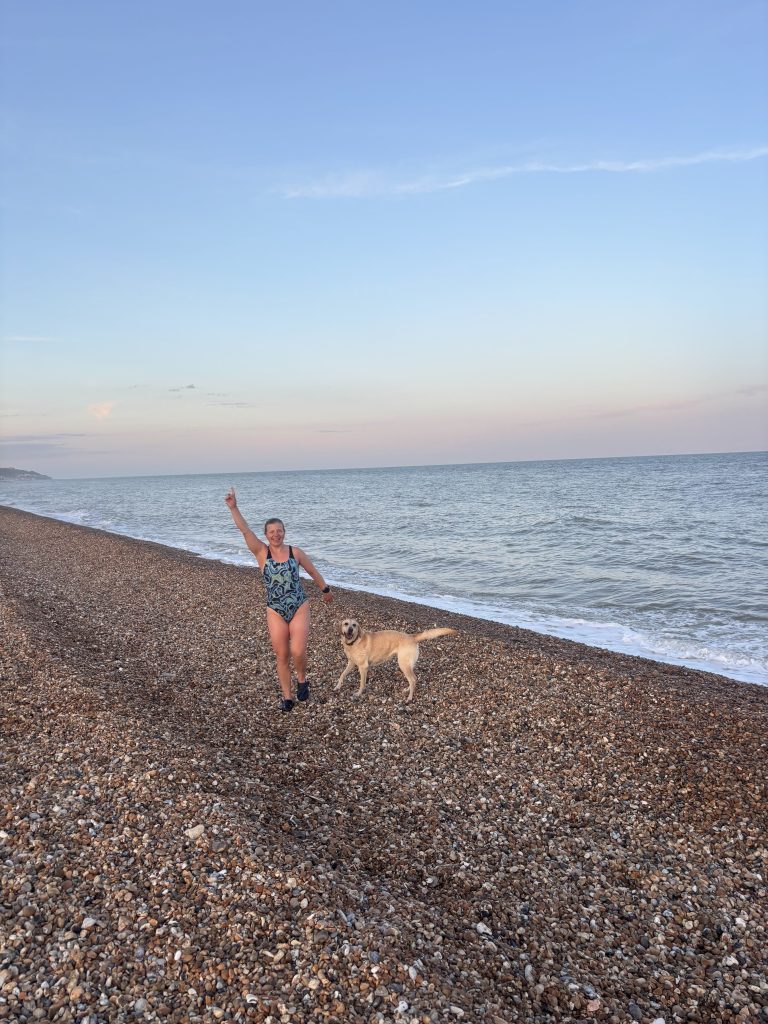 Poppy loved every minute of the dip too
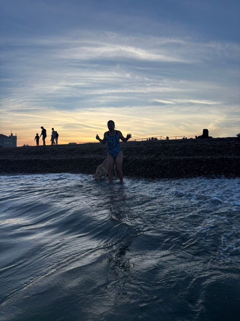 We were treated to a spectacular sunset
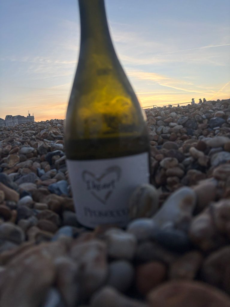 We came armed with a bottle of prosecco
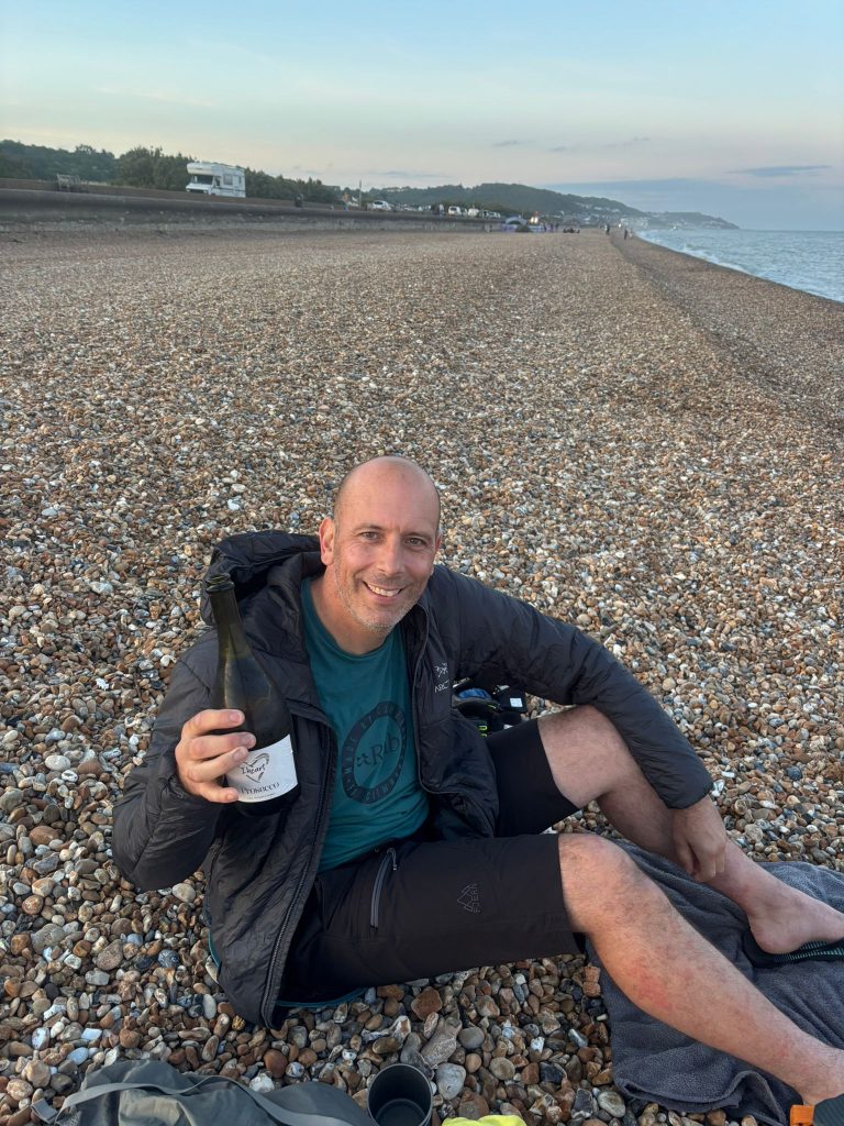 Terry loved prosecco on the beach idea
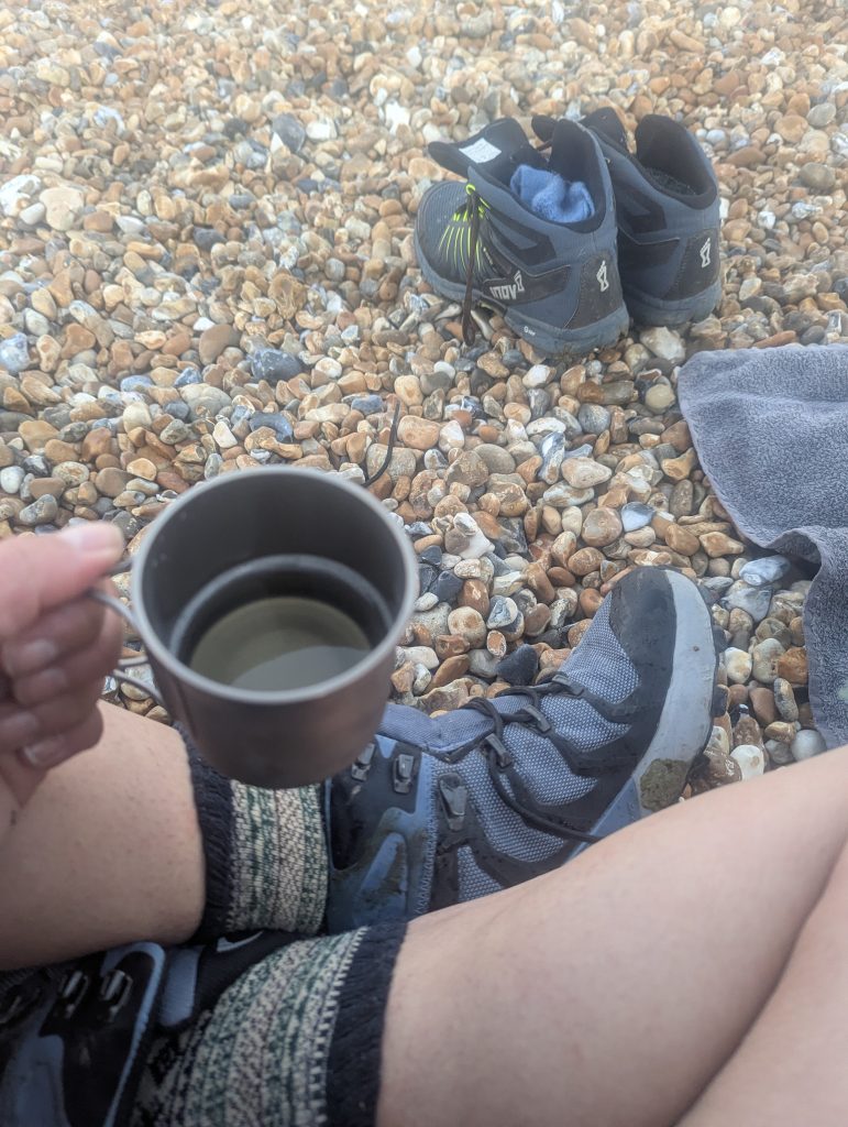 Titanium cups make perfect wine glasses – who knew!?
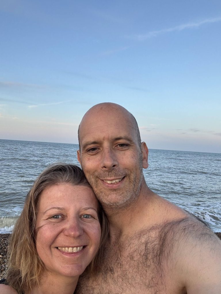 Perfect wrap to a perfect day
FAQ
What are the options for Public Transport?
By Train: Canterbury is well connected by train from London and other parts of Kent. The Canterbury West station is the closest to the start of the trail.
By Bus: Local bus services run between Canterbury, villages along the route, and Hythe. The Stagecoach South East buses cover many stops along or near the trail, making it possible to break the hike into manageable sections.
Halfway Point: The village of Elham is roughly the halfway point of the route (about 11 miles from either end). It’s a charming spot to rest or stay overnight.
Public Transport from Elham: From Elham, you can catch local buses to both Canterbury and Hythe, making it easy to split the hike over two days without needing a car.
Return Options: If doing the route in one day, you can start in Canterbury and finish in Hythe, then catch a bus or taxi back to your starting point. For a two-day hike, consider staying overnight in Elham or another village along the way, accessible by bus.
Planning Tips: Check the latest bus and train timetables before your trip, as schedules can vary, especially on weekends and holidays.
How long is the Elham Valley Way?
The official route is about 22 miles (35 km), but expect to clock a bit more if you explore detours or finish on the beach like we did. It’s a perfect day hike or a relaxed two-day adventure.
Can I do the Elham Valley Way with my dog?
Absolutely! The trail is dog-friendly, with plenty of open fields and woodland. Just keep your pup close near the Etchinghill golf course and be mindful of seasonal restrictions on Hythe’s main beach. The east side beach is your dog’s best friend for a splash and play finale.
What’s the best way to get to the start and from the finish?
Public transport is your friend here. Canterbury is well connected by train, and local buses run between Canterbury, Elham (the halfway point), and Hythe. This makes it easy to plan a one or two day hike without needing a car.
Are there places to eat or grab coffee along the route?
Yes! From dog-friendly cafes like Coffee and Pastries in Canterbury to the lovely Flo & Ted in Bridge, among several gastro-pubs along the way in Bridge, Bishopsbourne, Elham, Lyminge and Etchinghill for a hearty lunch, you won’t go hungry. Plus, there’s a tempting monthly market stall at The Red Lion with dog treats!
Is the trail well marked?
Mostly, yes. The Elham Valley Way is waymarked, but expect a few moments of “Where the heck is the sign?” especially near Covet Woods and the golf club at Etchinghill. A good map or GPS app helps.
What kind of terrain and scenery can I expect?
A charming mix of chalk farmland, woodland, quiet lanes, and fields bursting with wildflowers. You’ll also get stunning views from Tolsford Hill and a refreshing dip at Hythe beach to top it all off.
How to prepare your dog for all day adventures?
Read our blog on how I built Poppy’s fitness for big adventures