Seven Sisters: Guide to the Seaford → Eastbourne Classic Walk
There is something wonderfully wild and untouched about this stretch of English coastline where the undulating green hills of the South Downs Way crash directly into the English Channel. Stretching from the quiet seaside town of Seaford to the grand coastal resort of Eastbourne, this trail delivers one of the most breathtaking, and legs-testing day hikes in Britain: the iconic Seven Sisters.
Unlike more developed coastal paths, the Seven Sisters remain delightfully untouched: a dramatic, gleaming sequence of white chalk cliffs carved out by ice-age rivers and kept pristine by the relentless Atlantic wind. Walking this path means surrendering to the landscape’s natural roller-coaster rhythm: every steep climb rewards you with sweeping ocean views and salt-laced breezes, while every descent drops you into a quiet, sheltered valley where you can catch your breath before doing it all over again.
A Few Quick Facts Before You Strap On Your Boots:
Trail Stats At a Glance
Our Journey Unfolds: Seaside Camp to Chalk Cliffs
Walk to the bus stop ~ 3km – 1.8 miles | Ascent: 154m – 505ft | Bus journey: ~35 min
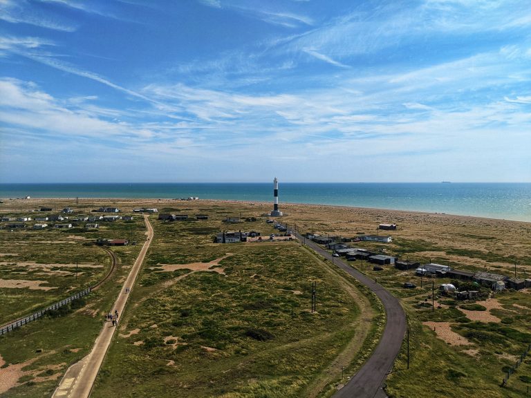
We’d wild‑camped at Dungeness the night before, tucked into the shingle with the kind of warm, quiet night you only get by the sea. Morning arrived in full sunshine – soft, bright, and ridiculously inviting – so we packed up, brewed a quick Aeropress, ate my speciality wild‑camp porridge for brekkie, and rolled into Eastbourne just after 10am, ready for a day on the chalk cliffs.
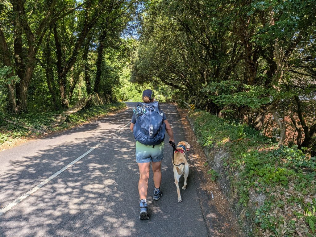
Parking luck was on our side: we tucked into a free on‑street spot on Upper Duke’s Drive, right on the edge of the South Downs National Park. From there we decided on the classic coast‑to‑car approach – hop on a Coaster bus to Seaford and walk the whole thing back. The only catch is that the bus doesn’t bother with the southwest corner of town, so we had a short, punchy 3 km uphill warm‑up to reach the stop. Not a problem though; we’d already planned to finish at The Pilot Inn afterwards, so the location worked perfectly.
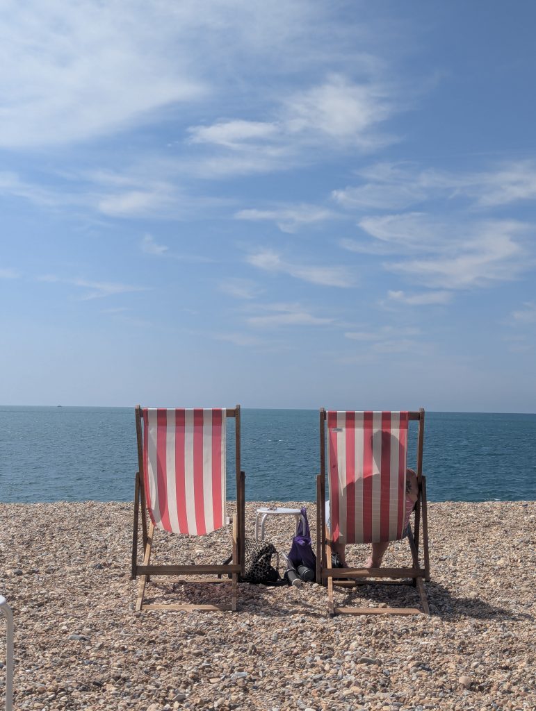
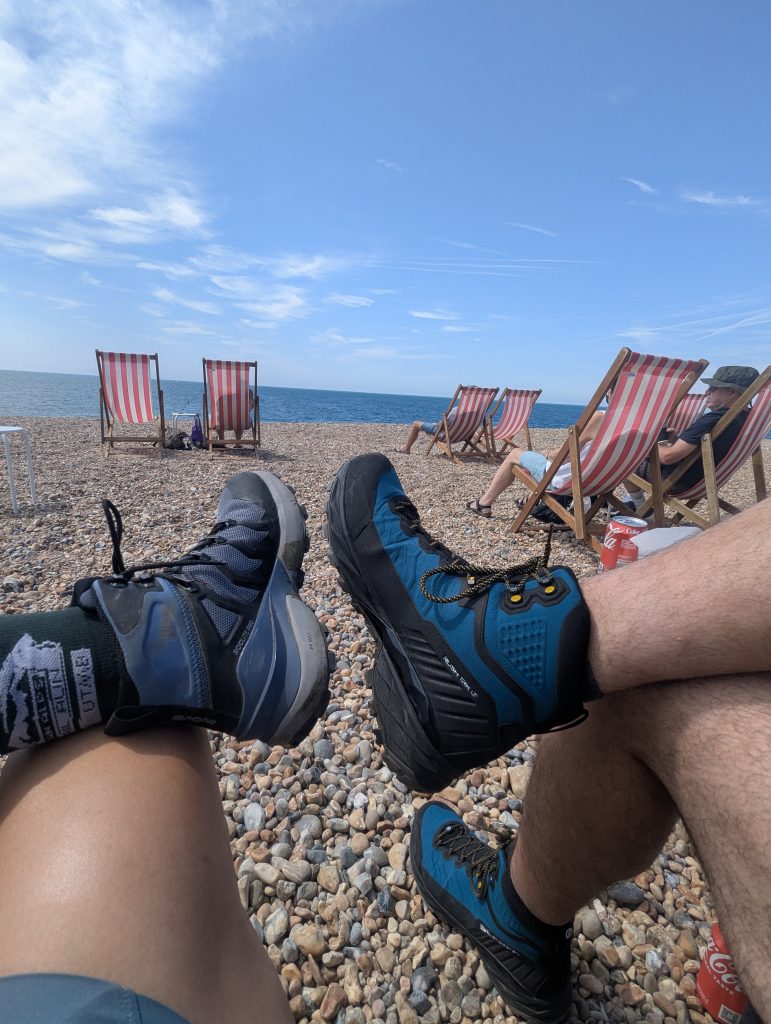
The bus trundles along the coast for just over half an hour, dropping you a short stroll from the seafront. With the sun out and the chalk cliffs glowing, we made the only sensible choice: lunch first. Frankie’s Beach Café had deck chairs in full sunshine, and we parked ourselves there with cold drinks and seaside views. If you’re keen to get straight onto the hills, there’s another café right on the promenade so you don’t need to double back – but honestly, on a day like this, delaying the start by half an hour felt like part of the adventure.
Seaford to Cuckmere Haven: First Climb and New Perspectives
Distance: 4.5km – 2.8 miles | Ascent: 140m – 460ft | Moving time ~ 1h
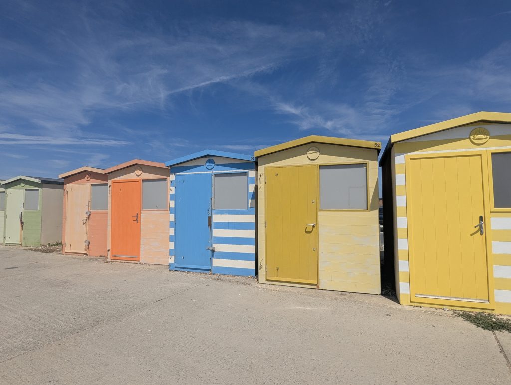
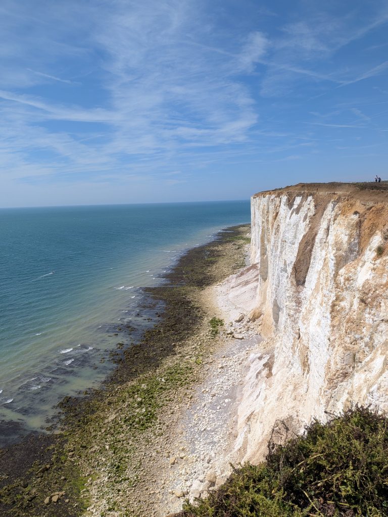
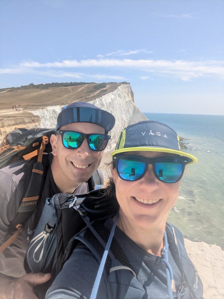
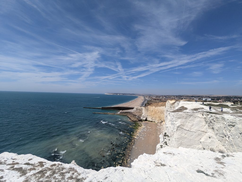
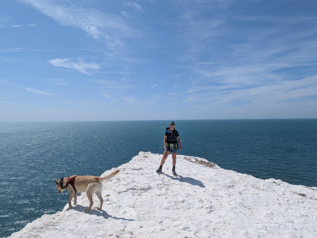
After a short wander along the seafront promenade – past the martello tower with its handy coffee stop and loos, and a row of picture‑perfect beach huts – you’re already lining up your first proper climb. The exposed chalk was glittering in the sun, so of course we stopped to grab a few photos of all that ridiculous white‑and‑blue contrast.
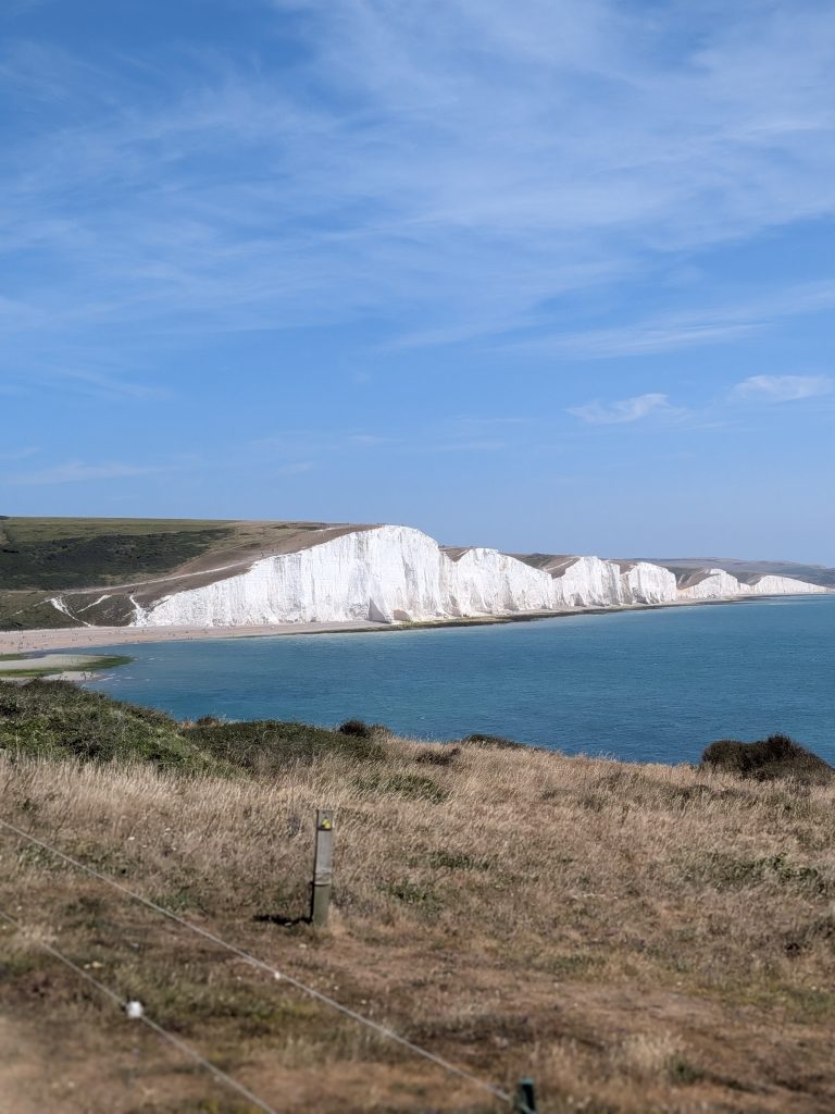
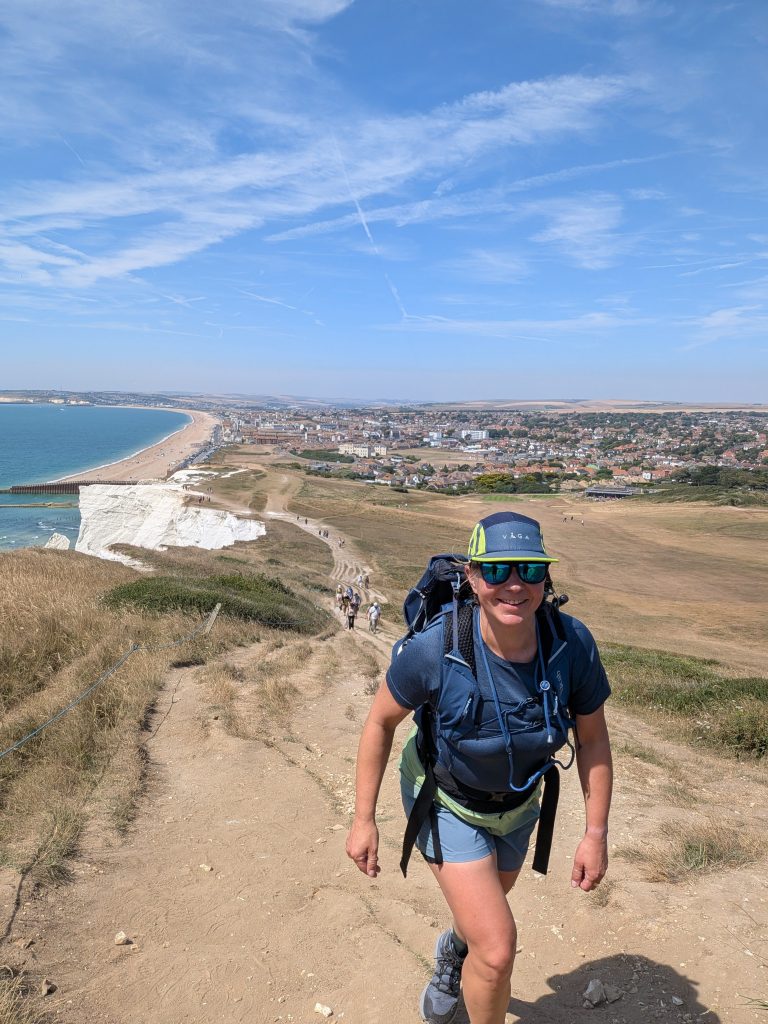
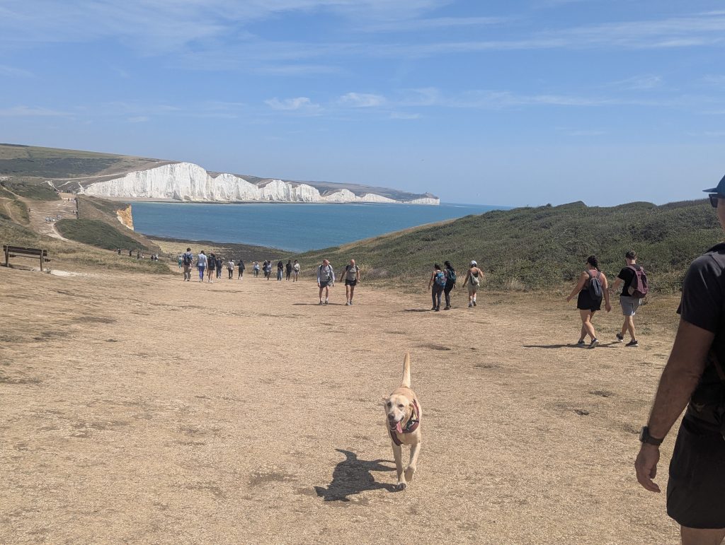
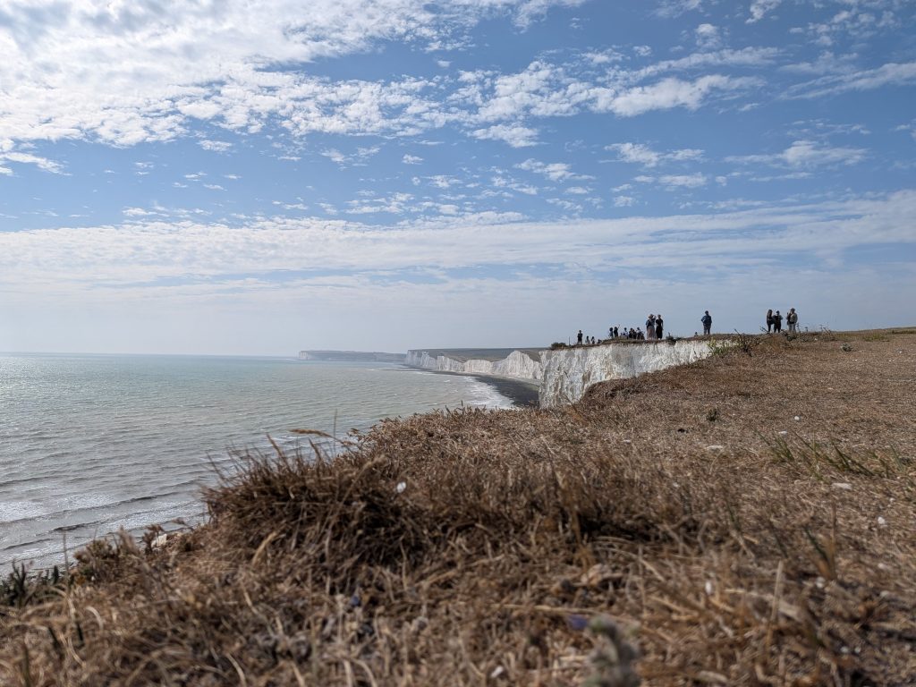
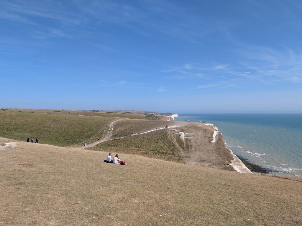
From there we pushed up to the top of the hill for the first spectacular reveal of the Seven Sisters. Funny thing: I run on Seven Sisters at least once a year as part of my ultra‑training routine, but I never cross to the other side of the river to actually admire the view. Standing there, looking back at the full sweep of cliffs, it felt like seeing a familiar friend from a completely new angle.
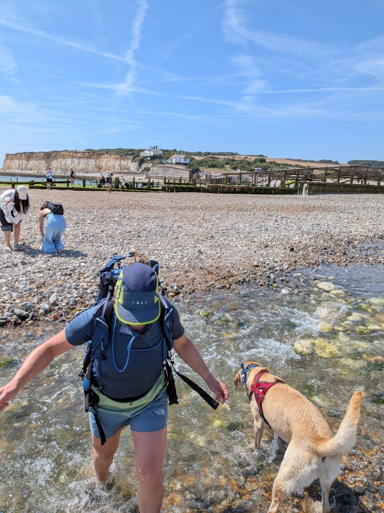
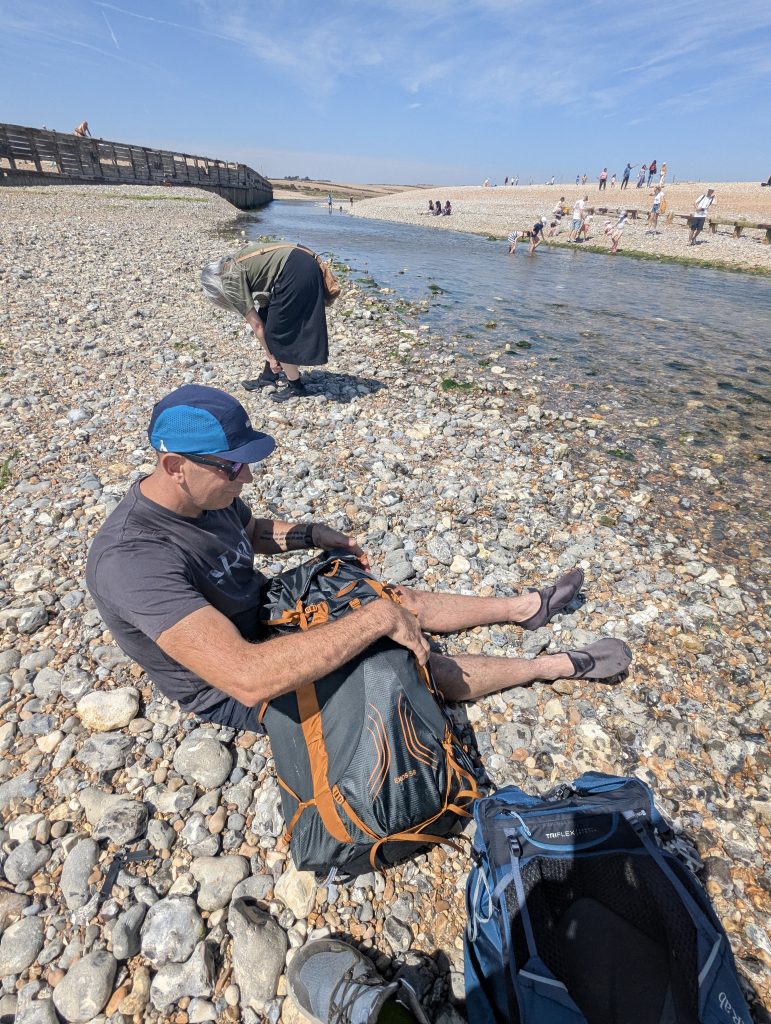
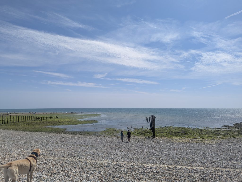
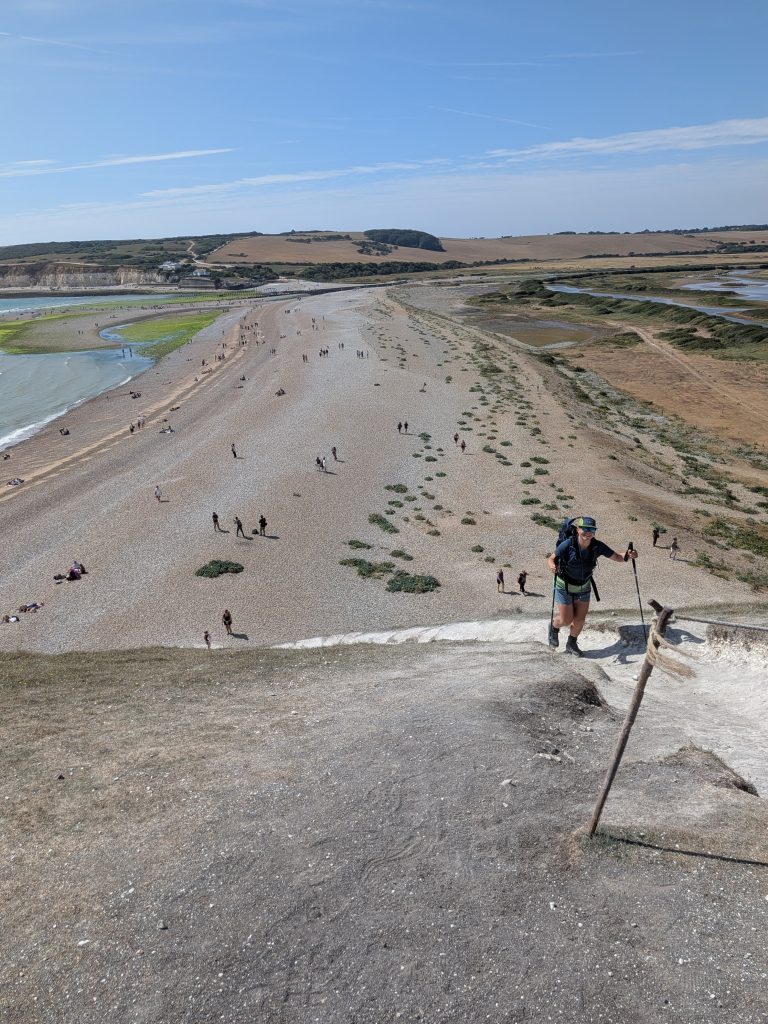
As we descended towards the estuary, we realised the tide was out and we could simply cross the river rather than taking the inland detour to the bridge. Water shoes on, we marched straight across – exactly the kind of shortcut that feels both rebellious and entirely sensible. We’d planned a sea dip here anyway, so it all lined up perfectly. The water was cool, clear, and framed by those spectacular chalk cliffs; honestly, one of the best dips I’ve had.
Cuckmere Haven to Eastbourne: River Crossings to Beachy Head’s Edge
Distance: 10km – 6.2 miles | Ascent: 450m – 1476ft | Moving time ~ 2.5h
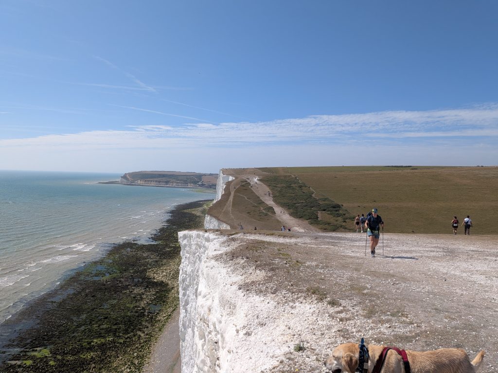
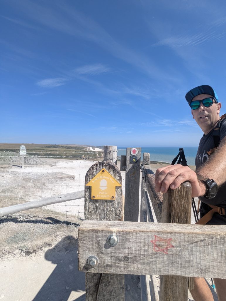
Once we’d dried off and dressed, we headed up to tackle the Seven Sisters proper. It was a busy Saturday, full of people from every walk of life and every possible interpretation of “appropriate hiking gear.” The rolling hills were as glorious as ever, and we cruised along until we reached Birling Gap, where we stopped for a well‑deserved coffee and cake.
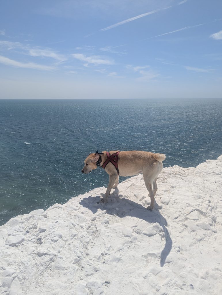
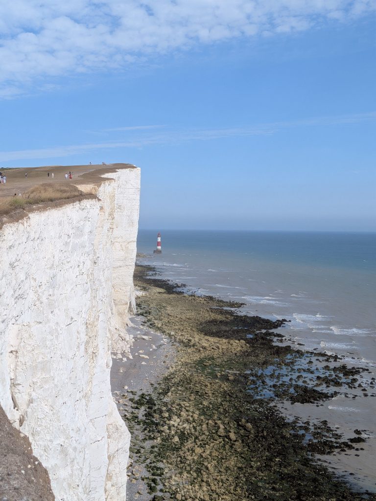
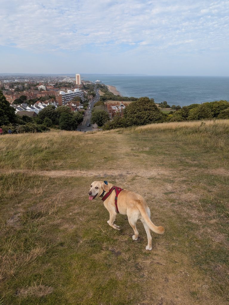
Then we tackled the famous Beachy Head, at 160m the highest point of the route, with its iconic lighthouse standing proud below the cliffs. The wind had picked up by this point, and you could see chalk flakes drifting through the air – tiny white sparks catching the sun as they blew past. Soon after, Eastbourne appeared on the horizon and the steep descent began. We took a bearing straight for The Pilot Inn, where a well‑deserved pint and dinner wrapped up the day exactly the way a chalk‑cliff adventure should.
Frequently Asked Questions (FAQ)
What’s the easiest ticket plan for Londoners?
Buy a return to Eastbourne. Start the hike in Seaford, finish in Eastbourne, and head straight to the station.
How do I get to the start in Seaford?
Take the Eastbourne ↔ Seaford Coaster bus – it runs every 10–15 minutes.
The coastal bus network is frequent and reliable.
Brighton & Hove 12 / 12A / 12X
Frequency: Every 3–10 minutes (weekday), 10 – 15 minutes (Sunday)
Journey time: ~28 minutes
Stops at: Seaford, Exceat, Seven Sisters, Birling Gap, East Dean, Eastbourne
Route 13X (Seasonal)
Open–top scenic bus
Runs every 30–60 minutes
Local Routes 26 & 126
Useful for villages and alternative starts.
26: Eastbourne ↔ Seaford (Sunday example: 10:00, 12:00, 14:00, 16:00, 18:00)
126: Eastbourne ↔ Seaford via Alfriston & Berwick (e.g., 10:50, 12:20, 12:50 departures)
Why not buy a ticket to Seaford instead?
You avoid Lewes train changes on tired legs and keep the end of the day simple.v
What ticket options are cheapest?
Off-Peak Day Return – ~£22–£28
Super Off-Peak (weekends) – ~£18–£24
GroupSave – 34% off for groups of 3–9
Railcards – 1/3 off (Network, 16–25, 26–30, Two Together)
What’s the low tide shortcut at Cuckmere Haven?
It’s a direct river‑mouth crossing that lets you stay on the beach instead of detouring inland to the bridge at Exceat.
How much distance does it save?
It cuts the walk from 13 – 13.5 miles down to roughly 10 miles, saving 2.5 – 3 miles overall.
Why take this shortcut?
You stay on the coast the entire time, avoid the inland diversion, and keep the flow of the walk uninterrupted.
When is it safe to cross?
Only when the river is shallow, calm, and clearly passable. Conditions change fast, so caution matters.
How do I check if the tide is right?
Use the Newhaven tide tables to confirm low tide before you set off.
What if I’m unsure about the crossing?
Take the inland bridge route. It’s safe, well-signed, and always accessible – no guesswork required.
Can I exit the route early if I get tired?
Yes, there are several bail-out points along the route, including Exceat, Birling Gap, and Cuckmere Haven, where you can leave the trail and access public transport or parking.
How do I build my dog’s fitness for long‑distance hiking?
Most dogs can handle long days out – but only with slow, steady conditioning. Start with their normal weekly walks, add gentle trail runs or canicross, and gradually increase mileage over 3–6 months. This builds cardiovascular endurance, tough paws, and trail confidence. Read the full guide: Dog Fitness for All‑Day Adventures
What should I pack for a long hike with my dog?
Your dog needs almost everything you do: water, snacks, a collapsible bowl, first aid basics, emergency booties, a hands‑free lead, and weather protection. Packing well keeps the day smooth, safe, and enjoyable. Full checklist: Dog Hiking Gear List