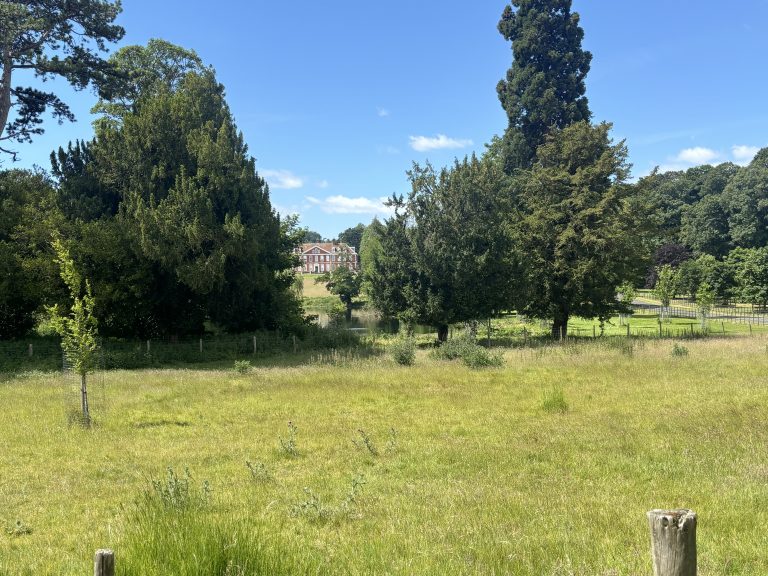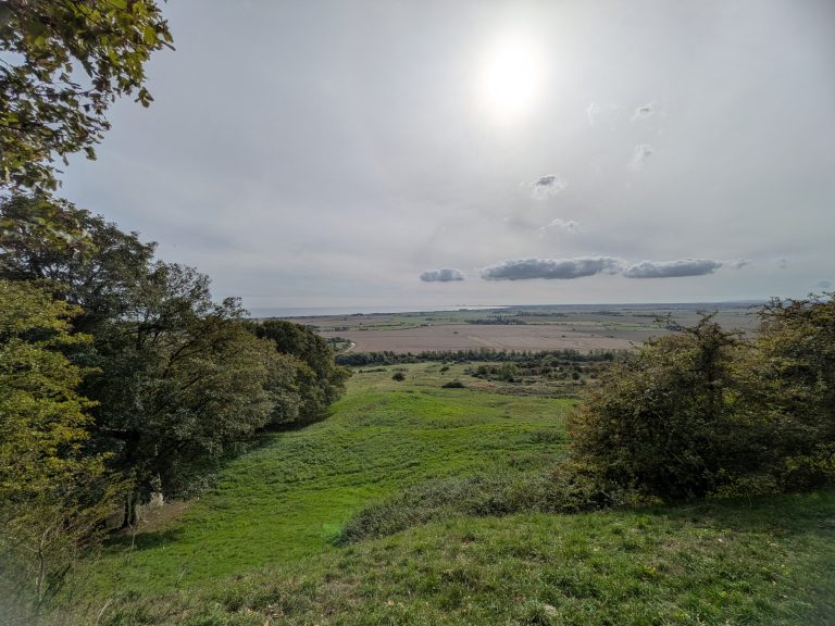

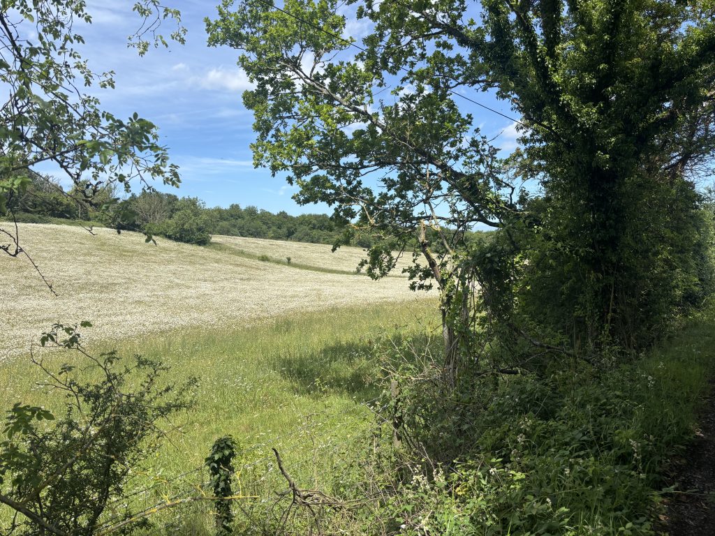
Follow the quiet murmur of the Nailbourne stream deep into the lower Elham Valley, and you leave the modern rush far behind. This route scales the chalk shoulders of the Kent Downs, weaving through high, sun-drenched arable tracks before plunging back into the cool, silent embrace of ancient beech woodland. If you are hunting for dog friendly walks Kent locals rave about, this 10k loop delivers wide-open running space without the friction of busy tarmac.
And for anyone curating a personal roster of classic pub walks near Canterbury with dogs, finishing right at the doorstep of a historic village local turns a morning stride into an absolute weekend ritual.
At a Glance Trail Stats
|
Feature |
Details |
|---|---|
|
Distance |
10.45km (6.49 miles) |
|
Time |
~2.5 to 3 hours |
|
Difficulty |
Moderate (Rolling agricultural tracks and gentle valley climbs) |
|
Dog Friendly |
High (Extensive off-lead stretches through wide farm tracks and woodland, with standard livestock caution near valley pastures) |
|
Start / Finish |
The Red Lion, High Street, Bridge (CT4 5LA) |
|
GPX |
Available to download via our Komoot page |
Local Heritage: The Elham Valley and the Historic Bridge Trackways
Long before modern transport connected the villages southeast of Canterbury, the chalk corridors and low valley floors of the Elham Valley served as vital communication arteries. Flowing through this watershed is the intermittent Nailbourne stream, a classic Kentish winterbourne that shapes the surrounding landscape and ancient field patterns only when groundwater peaks.
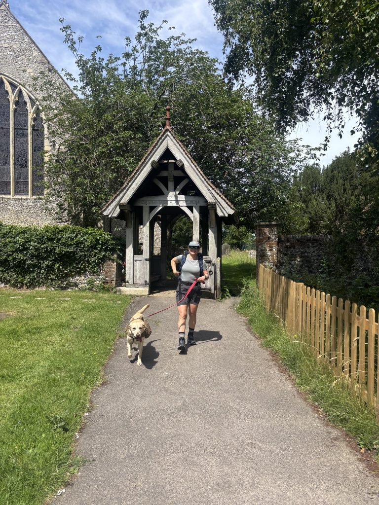
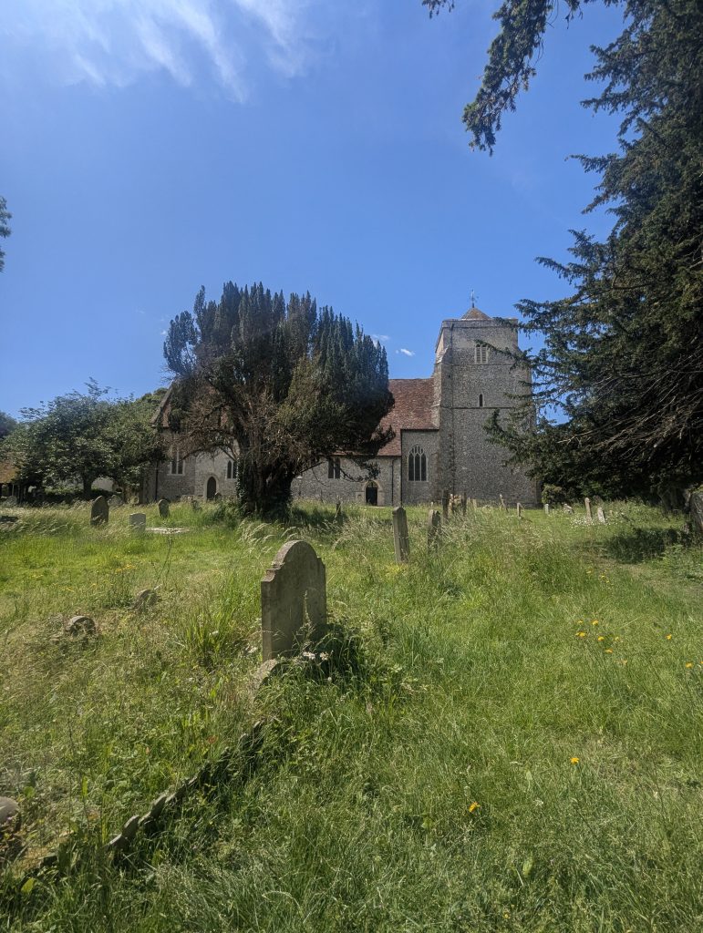
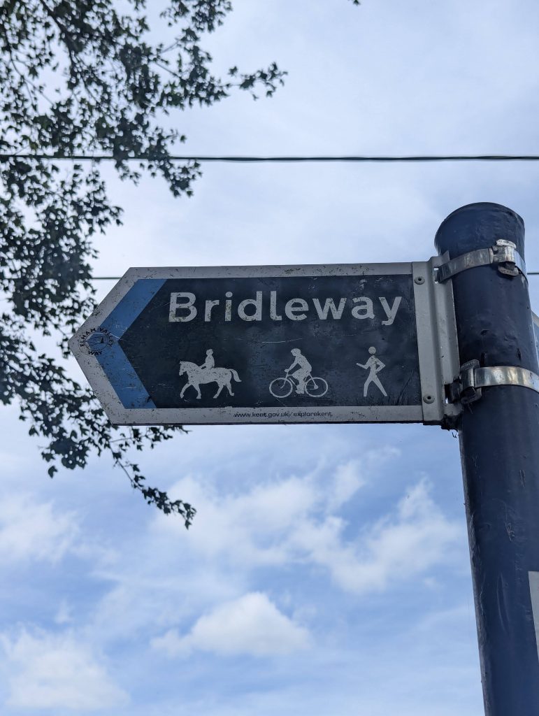
This 6.49-mile loop traces the historic boundaries of ancient agrarian estates and old drovers’ paths that once linked outlying rural communities directly to the historic core of Bridge. Walking these sunken green lanes and high ridge tracks means following footpaths used for centuries by agrarian workers and travelers navigating the rolling chalk downs. It provides a distinct sense of place, blending deep-rooted Kentish heritage with wide-open valley views before guiding you right back down to the historic high street and a well-earned stop at The Red Lion Inn.
Traildog Trail Notes
Terrain & Stiles
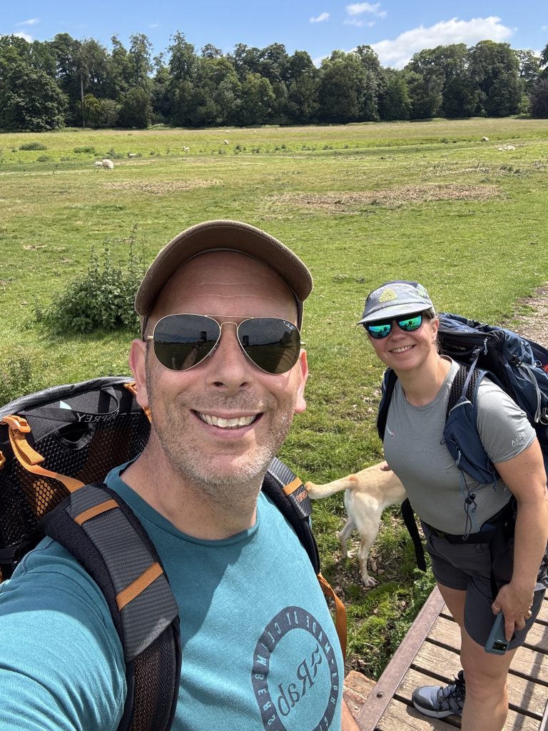
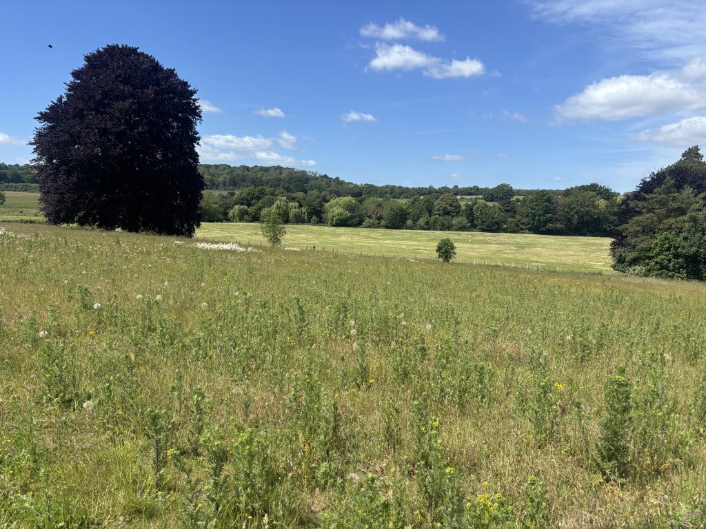
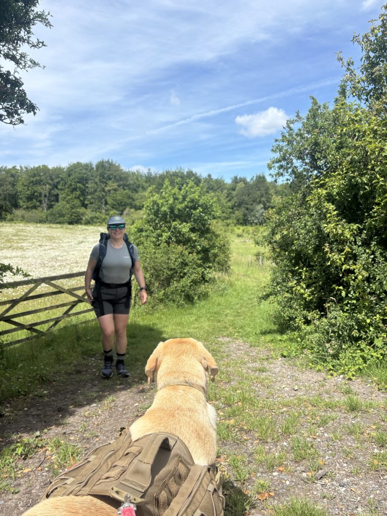
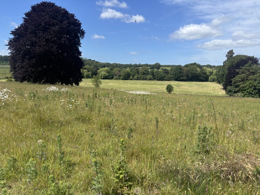
Expect a mix of open agricultural field paths, rolling chalk contours, and singletrack woodland trails. Be aware: several of the wooden stiles along this route are in poor condition. If traveling with a larger dog, be prepared to provide a lift-assist over high fence lines where lower gaps or dog gates are absent.
Off-Lead Zones
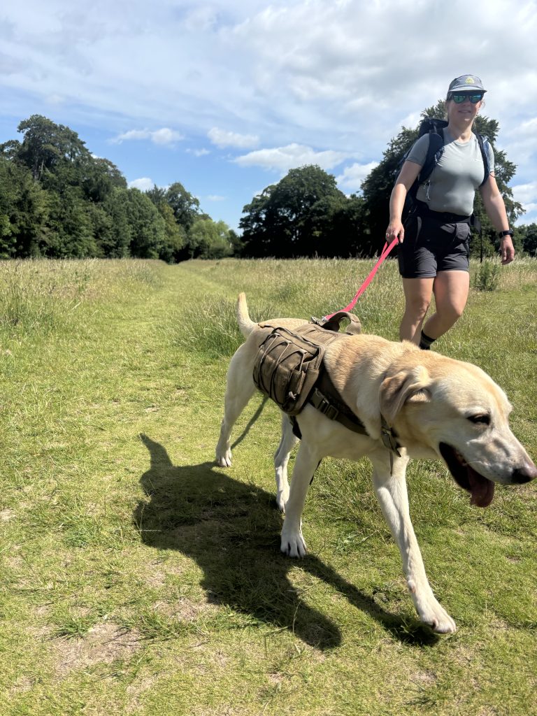
Large stretches of this trail pass through open, quiet fields ideal for off-lead walking. However, because this is active Kentish farmland, you must put your dog on a short lead whenever passing through fields with grazing sheep or near farm properties and road crossings.
Hydration
Natural water sources along this high ridge route are very limited. Carrying a dedicated water bottle and a collapsible travel bowl for your dog is advisable, especially on warm days. The primary watering spot is waiting at the finish line at The Red Lion, where fresh dog bowls are readily available.
The Finish Line: The Red Lion (Bridge)
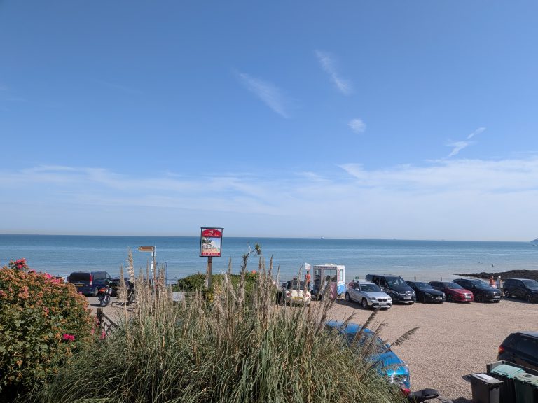
Your reward at the end of the loop is right where you started: The Red Lion in Bridge. Exceptionally welcoming to muddy boots and tired paws, it provides a fantastic atmosphere to settle down after a long trek. We bypassed the cozy interior for their outdoor setup to enjoy a weekend bite to eat. Sitting in the sun with fresh food, an exhausted trail dog sleeping under the table, and an ice-cold drink in hand is the ultimate way to cap off the hike.
Parking & Access
Parking is available directly at The Red Lion (High Street, Bridge, CT4 5LA). Be sure to pop in or check with the team beforehand to let them know your plans, it is a courteous way to secure your spot before heading out onto the Elham Valley trail and returning for well-earned post-walk refreshments!
Looking for More Inspiration?
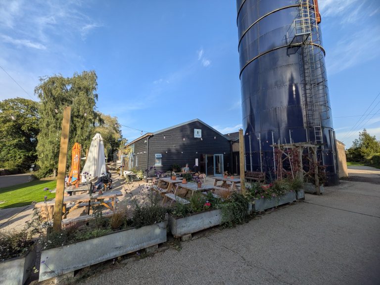
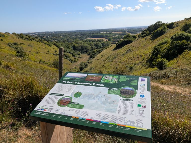
If you are curating a personal roster of classic pub walks across Kent, be sure to check out our other favorite routes, including the undulating chalk hills and weekend micro-pub finish on The Blue Silo and Kent Downs hike, enjoy wood-fired pizza and off-lead woodland trails on The Pig at Bridge Place dog walk, or step off the high-speed rail into panoramic chalk valleys with the Wye Downs & The Tickled Trout hike.
Want to download the GPX files directly for your next outing? Follow our adventures on the Trail Dog Komoot Page. And if you never want to miss a fresh Hike & Pint trail guide, gear review, or trail safety tip, make sure to subscribe below!
Frequently Asked Questions
Is this Elham Valley walking route suitable for dogs?
Yes, this 6.49-mile circular route is exceptionally dog-friendly, featuring extensive off-lead stretches through wide farm tracks and woodland corridors. However, because it passes through active agricultural land, you should keep your dog on a lead near livestock, and be prepared to lift larger dogs over a few wooden stiles in poor condition.
Where is the best place to park for this walk?
How long does the Red Lion and Elham Valley loop take to walk?
The 6.49-mile route typically takes around 2.5 to 3 hours to complete at a steady pace, making it an ideal half-day adventure that leaves plenty of time for food and drinks afterward.
Are there water sources along the trail for dogs?
Natural water sources along the high ridge and farm tracks can be sparse or dry up during warmer months. It is highly recommended to pack a dedicated travel bottle and bowl for your dog, though a fresh bowl of water will be waiting for them at the finish line at The Red Lion.
What is the significance of the Nailbourne stream along this route?
The Nailbourne is a classic Kentish winterbourne, an intermittent chalk stream that remains largely dry underground for months or even years before bursting into life after heavy winter or spring rainfall. When active, it flows through the Elham Valley towards Bridge, historically dictating local valley water supplies and ancient trackway layouts.
How does this route connect to ancient pilgrim and drovers’ paths?
The high ridges and valley tracks around Bridge and the lower Elham Valley form part of an ancient network of communication routes. Long before modern tarmac, these green lanes were used by medieval drovers moving livestock toward Canterbury markets and travelers navigating between the coast and the cathedral city.
What historical connection does the village of Bridge have?
Positioned in the Nailbourne valley southeast of Canterbury, Bridge has served as a vital historic crossing point and staging post for centuries. Travelers moving along the old Dover-to-Canterbury road historically relied on the village’s coaching inns and watering holes, a tradition carried on today by historic pubs like The Red Lion.
How do I get to the trailhead in Bridge by public transport?
Bridge is well-connected by local bus services running directly from Canterbury Bus Station. You can catch the Stagecoach South East bus (such as route 16 or 17), which stops conveniently in Bridge near the village center and local pubs, making it an easy option if you want to arrive on foot without a car. From the main bus stops on the High Street, it is just a short, flat stroll straight to the Red Lion.