
There is a running joke among UK hill walkers: if you don’t like the weather, just wait five minutes.
While that unpredictability is part of the magic of exploring places like Eryri (Snowdonia), the Lake District, or the Scottish Highlands, it is also the number one reason hikers get caught out. A bright, sunlit valley can lure you into a false sense of security, only to deliver freezing, zero-visibility gales by the time you reach the ridge.
If you are planning an all-day adventure with your dog, knowing how to decode a specialist mountain forecast is just as critical as packing your Essential Mountain Gear. Understanding the data can be the difference between a challenging but enjoyable hike and a desperate, dangerous retreat down the hill. Here is exactly how to read the sky, understand the metrics, and keep you and your trail dog safe when the Welsh mist rolls in.
Weather Stats At a Glance
The Valley App Trap
The biggest mistake a beginner can make is checking a standard smartphone weather app (like Apple Weather or the BBC) while sitting in the valley car park.
Standard apps give you the forecast for the valley floor or the nearest town, providing a completely inaccurate picture of what awaits you up high. They do not account for the drastic atmospheric changes that occur at 900 metres (approx. 3,000 feet). A forecast showing 12°C and a light breeze in Llanberis can easily translate to 2°C with 50mph gusts and horizontal rain on the summit of Yr Wyddfa (Snowdon).
If you pack based on the valley app, you will be dangerously under-equipped, risking hypothermia for yourself and putting your dog in unnecessary peril.
The Only Two Forecasts You Should Trust
Before your boots even touch the mud, you should be consulting one of these two specialist UK platforms:
Decoding the Metrics (The Mountain Maths)
When you pull up a MWIS or Met Office report, you will see a lot of data. Here are the three non-negotiable metrics you need to understand before you hike.
1. Wind Speed & Gusts (The Balance Breaker)
Wind is the most debilitating factor in the UK mountains. It strips your body heat, drains your physical energy, and can literally blow you off a narrow ridge.
2. The Temperature Lapse Rate & Wind Chill
For every 100 metres of elevation you climb, the ambient temperature drops by roughly 1°C. This is known as the temperature lapse rate.
If it is 15°C at sea level, it might only be 6°C on a 900-metre summit. However, when you factor in a 30mph wind, the wind chill (what it actually feels like against your skin) can instantly drop that 6°C down to freezing. This rapid cooling can lead to hypothermia if you stop moving, which is exactly why a continuous-filament synthetic emergency layer must always be in your rucksack.
3. Cloud Base & Visibility
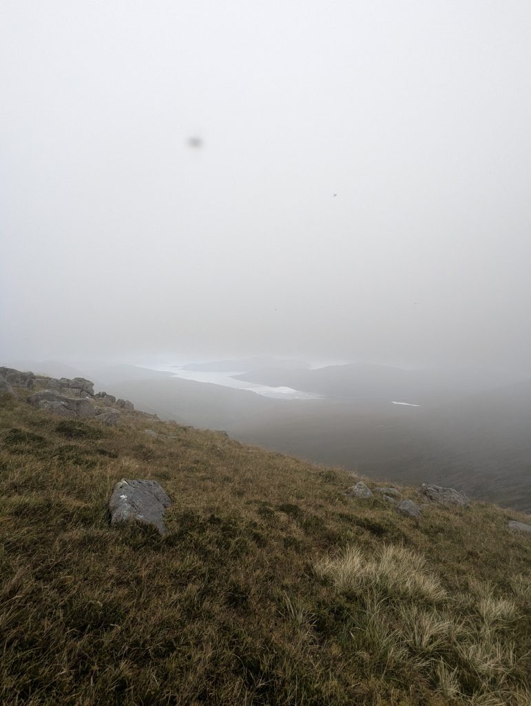
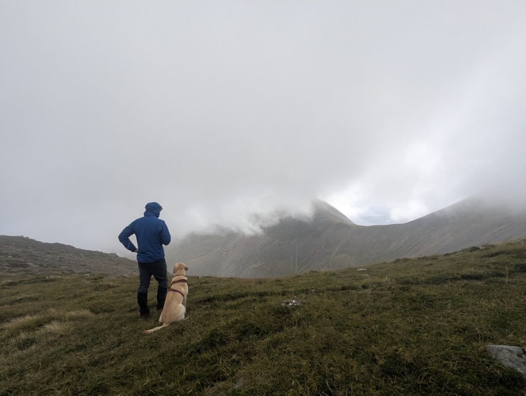
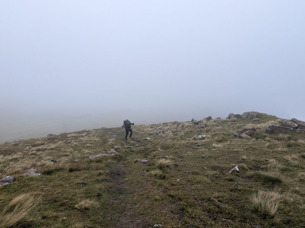
MWIS will often state the “height of the cloud base” (the lowest altitude of the visible portion of a cloud, e.g., “Cloud base lowering to 600m”). If your intended summit is 800m high, you will be walking the final 200 metres inside a cloud.
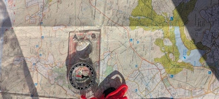
Walking in the cloud means zero visibility. You lose your visual “handrails” (like distant peaks or valleys), making your physical OS map and compass – and the knowledge of how to use them – absolutely vital. A sudden drop in the cloud base can turn a simple descent into a disorienting nightmare.
The Canine Weather Check
We can wrap ourselves in 3-layer Gore-Tex and heavy fleeces, but our dogs don’t have that luxury. When reading the forecast, you must filter the data through your dog’s capabilities.
Make the Smart Call
The mountains aren’t going anywhere. Reading the forecast isn’t about finding the perfect day – it is about knowing exactly what you are walking into so you can pack smartly and navigate safely. Check the MWIS report, respect the wind speeds, and never be afraid to opt for a lower valley route if the summit gales are howling.

Your Mountain Weather Questions Answered
What does “Freezing Level” mean on a mountain forecast?
The freezing level is the altitude at which the air temperature drops to 0°C. If the freezing level is at 800m, and your summit is 1,000m, any precipitation falling above 800m will likely fall as snow or hail, and any moisture on the rocks will freeze into invisible “black ice.” Knowing this level helps you anticipate severe changes in ground conditions and pack appropriate traction gear.
How far in advance should I check the mountain weather?
Mountain weather systems move rapidly. While checking a forecast 3 to 5 days in advance gives you a general trend, you should always pull the latest MWIS or Met Office update the evening before your hike, and check it one final time in the morning before you lose your mobile signal at the start of the route.
Can I use standard weather apps if I am just doing a low-level valley walk?
If you are strictly remaining on the valley floor (e.g., walking around a lowland lake or through a forestry plantation) without gaining significant elevation, a standard app is generally acceptable for judging rain. However, the moment your route climbs onto exposed moorland or hill passes, you must switch to a mountain-specific forecast to account for wind speeds.
Why does the wind speed feel stronger on the summit than the forecast predicted?
Forecasts often predict the wind speed at a specific altitude. However, mountains physically alter the wind. Features like steep valleys, gullies, and cols act like wind tunnels, forcefully squeezing and accelerating the air as it passes through. A forecasted 30mph wind can easily funnel into localised 50mph gusts as it accelerates over a narrow ridge.